
14,4 km | 15,3 km-effort


Benutzer


Kostenlosegpshiking-Anwendung
 SityTrail
IGN / Geografische Institute
SityTrail World
Die Welt öffnet sich für Sie
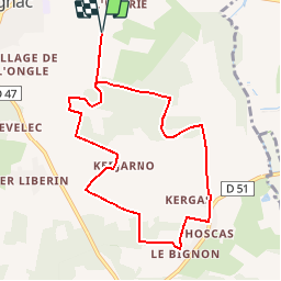
Tour Wandern von 8,8 km verfügbar auf Pays de la Loire, Loire-Atlantique, Herbignac. Diese Tour wird von tracegps vorgeschlagen.
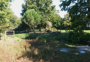
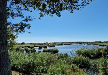
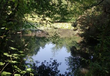
Circuit proposé par le Comité Départemental du Tourisme de Loire-Atlantique et «La Baule – presqu'île de Guérande». Départ du château d'Herbignac. Des ruines de l’imposante forteresse du XIIe siècle, un large chemin à travers champs invite le promeneur à la découverte. Très vite un petit sentier nous plonge dans les sous-bois humides du marais des Crolières, puis de larges allées forestières nous conduisent aux villages d’Hoscas et du Bignon encore coiffés de chaume. Dernières chaumières en lisière de bois et l’horizon s’ouvre entre deux bosquets sur les champs et les prairies fleuries de la campagne. Des chemins tranquilles guident les pas jusqu’à la visite du château qui nous attend ! Retrouvez le circuit sur le site de «La Baule – presqu'île de Guérande».


Wandern

Wandern
Wandern
Wandern

Zu Fuß
Wandern
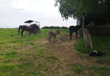
Reiten

Wandern