![](/images/other/stat-length.png)
![Tour Wandern Châteaufort - Le ravin de terre basse - Chateaufort - Photo](https://media.geolcdn.com/t/1900/400/ext.pjpeg?maxdim=2&url=https%3A%2F%2Fservices.sitytrail.com%2FGeolivesWS%2FDownloadMedia.ashx%3FTrailID%3D112788%26Media%3D12395_5.jpg)
Le ravin de terre basse - Chateaufort
tracegps
Benutzer
![Länge](/images/other/stat-length.png)
![Maximale Höhe](https://static1.geolcdn.com/siteimages/upload/files/1508320355ic_sort_altitude_max_24dp.png)
![Positive Höhendifferenz](https://static1.geolcdn.com/siteimages/upload/files/1508320355ic_sort_den_pos_24dp.png)
![Km-Effort](/images/other/stat-length.png)
![Min. Höhe](https://static1.geolcdn.com/siteimages/upload/files/1508320355ic_sort_altitude_min_24dp.png)
![Negative Höhendifferenz](https://static1.geolcdn.com/siteimages/upload/files/1508320355ic_sort_den_neg_24dp.png)
![Boucle](https://static1.geolcdn.com/siteimages/upload/files/16400158638029165_repeat_loop_refresh_sync_direction_icon.png)
![Wandern](https://static1.geolcdn.com/sitytour/trail-icons/101.png)
4h30
Schwierigkeit : Sehr schwierig
![Scannen Sie diesen QR-Code, um die Tour in der SityTrail-Anwendung zu öffnen](https://capi.geolives.com/qq0zvz2zws4bq2lad0pu/sitytour/trails/112788/qr.png?size=200)
Kostenlosegpshiking-Anwendung
Über SityTrail
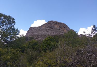
Tour Wandern von 15 km verfügbar auf Provence-Alpes-Côte d'Azur, Alpes-de-Haute-Provence, Châteaufort. Diese Tour wird von tracegps vorgeschlagen.
Beschreibung
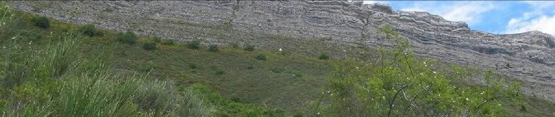
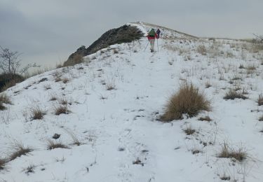
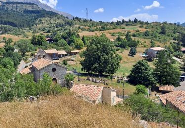
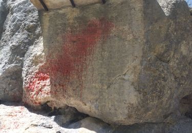
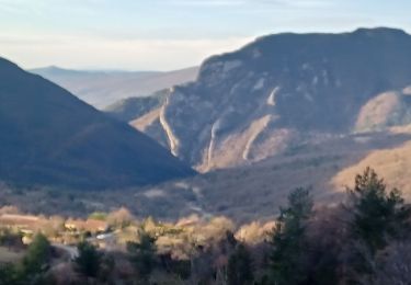
Se garer sur la place située à l’entrée de Châteaufort. Pour ne pas avoir à surcharger en balisage toute la première partie du circuit, on suit le tracé rouge et blanc du tout récent GR 653D qui permet la liaison de St jacques de Compostelle à Rome. Ce très joli sentier vous conduit directement à St Geniez. Dans le village, s’engager à gauche de la fontaine pour suivre le balisage jaune jusqu’au pas de l’échelle. Attention, arrivé au pas de l’échelle, laisser à droite le sentier menant au sommet du Trainon en restant sur la piste principale. Cette piste, régulièrement descendante, traverse le domaine de la Pène avant de rejoindre votre point de départ. Retrouvez le circuit sur le site des Hautes Terres de Provence.
Ort
Kommentare
Touren in der Umgebung
![Tour Wandern Saint-Geniez - Le Trainon - Photo](https://media.geolcdn.com/t/375/260/6384f902-eeea-4c31-bc21-4fe490321a44.jpg&format=jpg&maxdim=2)
![Wandern Wandern](https://static1.geolcdn.com/sitytour/trail-icons/101.png)
Wandern
![](/images/other/stat-length.png)
![](https://static1.geolcdn.com/siteimages/upload/files/16400158638029165_repeat_loop_refresh_sync_direction_icon.png)
![Tour Wandern Valavoire - Sommet de Jouère - Photo](https://media.geolcdn.com/t/375/260/d8443deb-7a4b-44b3-ac6b-fcb5789c326f.jpg&format=jpg&maxdim=2)
![Wandern Wandern](https://static1.geolcdn.com/sitytour/trail-icons/101.png)
Wandern
![](/images/other/stat-length.png)
![](https://static1.geolcdn.com/siteimages/upload/files/16400158638029165_repeat_loop_refresh_sync_direction_icon.png)
![Tour Wandern Saint-Geniez - Pierre écrite et montagne de Gache - Photo](https://media.geolcdn.com/t/375/260/7a1ca822-6c04-425e-94b9-5be1080d03a0.jpg&format=jpg&maxdim=2)
![Wandern Wandern](https://static1.geolcdn.com/sitytour/trail-icons/101.png)
Wandern
![](/images/other/stat-length.png)
![](https://static1.geolcdn.com/siteimages/upload/files/16400158638029165_repeat_loop_refresh_sync_direction_icon.png)
![Tour Wandern Entrepierres - SAINT GENIEZ . LE MOURRE DE GACHE PAR LA FONT DE MEGE N - Photo](https://media.geolcdn.com/t/375/260/5d853fdd-5713-4858-a535-57b1bf5db08d.jpg&format=jpg&maxdim=2)
![Wandern Wandern](https://static1.geolcdn.com/sitytour/trail-icons/101.png)
Wandern
![](/images/other/stat-length.png)
![](https://static1.geolcdn.com/siteimages/upload/files/16400158638029165_repeat_loop_refresh_sync_direction_icon.png)
![Tour Wandern Clamensane - VALAVOIRE Pas de Palabiouse , bergerie de Premarche o l s - Photo](https://media.geolcdn.com/t/375/260/0c200d5e-0f59-43cc-96e6-d7b8947343f2.jpg&format=jpg&maxdim=2)
![Wandern Wandern](https://static1.geolcdn.com/sitytour/trail-icons/101.png)
Wandern
![](/images/other/stat-length.png)
![](https://static1.geolcdn.com/siteimages/upload/files/16400158638029165_repeat_loop_refresh_sync_direction_icon.png)
![Tour Wandern Clamensane - VALAVOIRE. Pas de Palabrouse. Fontaine de Pouille o l s - Photo](https://media.geolcdn.com/t/375/260/d94e99f0-0c27-4f39-bd9c-c7d2b68f013f.jpg&format=jpg&maxdim=2)
![Wandern Wandern](https://static1.geolcdn.com/sitytour/trail-icons/101.png)
Wandern
![](/images/other/stat-length.png)
![](https://static1.geolcdn.com/siteimages/upload/files/16400158638029165_repeat_loop_refresh_sync_direction_icon.png)
![Tour Zu Fuß Saint-Geniez - tour-de-la-montagne-de-gache_gpx - Photo](https://media.geolcdn.com/t/375/260/ext.jpg?maxdim=2&url=https%3A%2F%2Fstatic1.geolcdn.com%2Fsiteimages%2Fupload%2Ffiles%2F1545311037marcheuse_200dpi.jpg)
![Zu Fuß Zu Fuß](https://static1.geolcdn.com/sitytour/trail-icons/100.png)
Zu Fuß
![](/images/other/stat-length.png)
![](https://static1.geolcdn.com/siteimages/upload/files/16400158638029165_repeat_loop_refresh_sync_direction_icon.png)
![Tour Wandern Valavoire - Château de la mole - Col de la Sapie - Photo](https://media.geolcdn.com/t/375/260/4daf6a52-01d9-480a-9c8c-120e5682afb7.jpg&format=jpg&maxdim=2)
![Wandern Wandern](https://static1.geolcdn.com/sitytour/trail-icons/101.png)
Wandern
![](/images/other/stat-length.png)
![](https://static1.geolcdn.com/siteimages/upload/files/16400158638029165_repeat_loop_refresh_sync_direction_icon.png)
![Tour Wandern Saint-Geniez - petite balade vers saint Génies - Photo](https://media.geolcdn.com/t/375/260/d2c5e168-823d-4cc4-a9db-db592606d4c2.jpg&format=jpg&maxdim=2)
![Wandern Wandern](https://static1.geolcdn.com/sitytour/trail-icons/101.png)
Wandern
![](/images/other/stat-length.png)
![](https://static1.geolcdn.com/siteimages/upload/files/16400158638029165_repeat_loop_refresh_sync_direction_icon.png)