


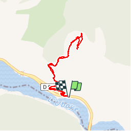

10,6 km | 21 km-effort

Benutzer


Kostenlosegpshiking-Anwendung
 SityTrail
IGN / Geografische Institute
SityTrail World
Die Welt öffnet sich für Sie
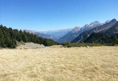
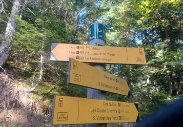
Tour Wandern von 3,9 km verfügbar auf Provence-Alpes-Côte d'Azur, Alpes-de-Haute-Provence, Le Lauzet-Ubaye. Diese Tour wird von Dervalmarc vorgeschlagen.
Gîte restauré par le conservatoire du Littoral.
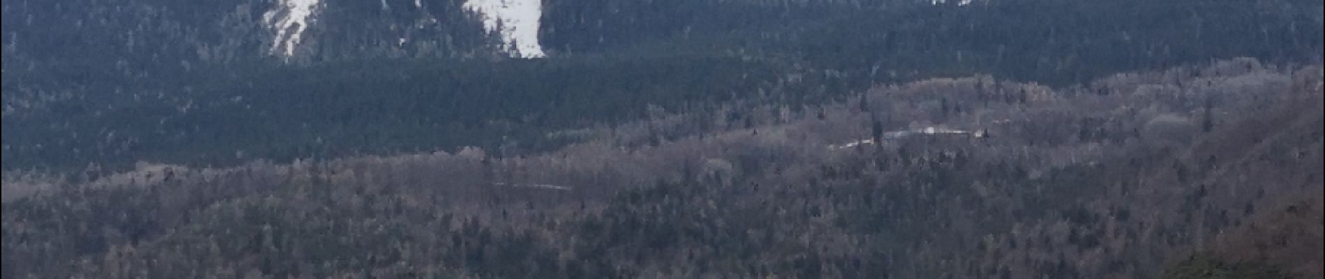
Dominé par les falaises li se trouve à mi hauteur sur le versant méridional du grand Morgon.
Il offre une vue aérienne splendide de la branche Ubayenne du lac de Serre Poncon.


Wandern
Wandern

Wandern

Wandern
Wandern
Wandern

Wandern
Wandern

Wandern