


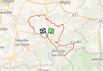


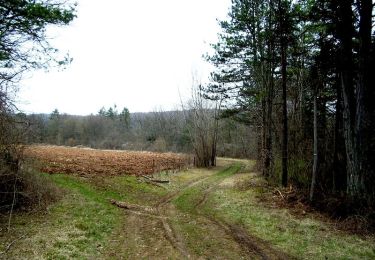
21 km | 26 km-effort

Benutzer


Kostenlosegpshiking-Anwendung
 SityTrail
IGN / Geografische Institute
SityTrail World
Die Welt öffnet sich für Sie
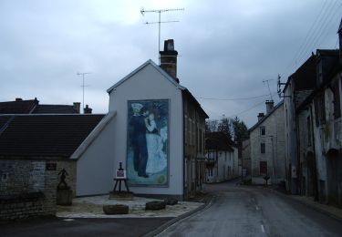
Tour Fahrrad von 64 km verfügbar auf Großer Osten, Aube, Essoyes. Diese Tour wird von tracegps vorgeschlagen.
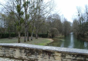
Proposé par le Comité Départemental du Tourisme de l'Aube, un circuit créé et validé par la Fédération Départementale du Cyclotourisme de l’Aube. Au Pays de Renoir – 64 km - Village d’Essoyes : musée; atelier et cimetière où repose le peintre Renoir - Caves de champagne - Pont Romain de Loches sur Ource - Point de vue de Noé les Mallets


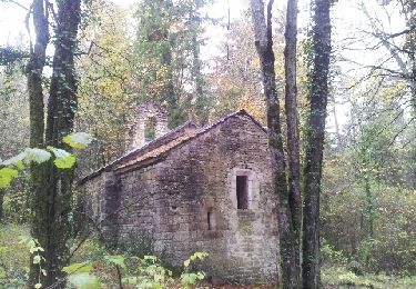
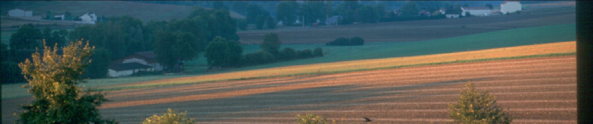
Wandern
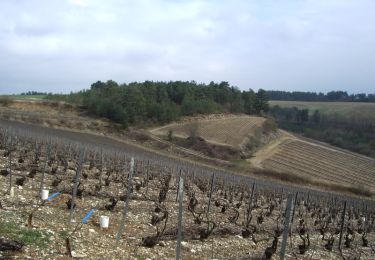
Wandern
Wandern
Wandern
Wandern

Wandern
Wandern