24 km | 28 km-effort
Circuit des Normands - Chennebrun
tracegps
Benutzer
Länge
5,5 km
Maximale Höhe
219 m
Positive Höhendifferenz
34 m
Km-Effort
5,9 km
Min. Höhe
196 m
Negative Höhendifferenz
34 m
Boucle
Ja
Erstellungsdatum :
2014-12-10 00:00:00.0
Letzte Änderung :
2014-12-10 00:00:00.0
1h19
Schwierigkeit : Einfach
Kostenlosegpshiking-Anwendung
Über SityTrail
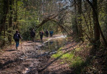
Tour Wandern von 5,5 km verfügbar auf Normandie, Eure, Chennebrun. Diese Tour wird von tracegps vorgeschlagen.
Ort
Land:
France
Region :
Normandie
Abteilung/Provinz :
Eure
Kommune :
Chennebrun
Standort:
Unknown
Gehen Sie:(Dec)
Gehen Sie:(UTM)
336835 ; 5394243 (31U) N.
Kommentare
Touren in der Umgebung
Saint-Maurice-lès-Charencey - Soligny-la-Trappe 25 km
Wandern
Medium
Charencey,
Normandie,
Orne,
France
6h 22min
Nein
Saint-Maurice-les-Charencey - Tourouvre 28 km
Wandern
Einfach
Charencey,
Normandie,
Orne,
France
26 km | 30 km-effort
6h 53min
Nein
Circuit des Normands - Chennebrun
Wandern
Einfach
Chennebrun,
Normandie,
Eure,
France
5,5 km | 5,9 km-effort
1h 19min
Ja
Les Fossés Royaux - St Christophe-sur-Avre
Wandern
Einfach
Saint-Christophe-sur-Avre,
Normandie,
Eure,
France
7,2 km | 8 km-effort
1h 49min
Ja
Circuit des Fermes - Gournay-le-Guérin
Wandern
Einfach
Gournay-le-Guérin,
Normandie,
Eure,
France
7,3 km | 7,9 km-effort
1h 49min
Ja
[Itinéraire] D'un calvaire à l'autre
Wandern
Medium
Beaulieu,
Normandie,
Orne,
France
5,7 km | 6,3 km-effort
1h 25min
Ja
[Itinéraire] Autour du bourg
Wandern
Einfach
Beaulieu,
Normandie,
Orne,
France
4,2 km | 4,6 km-effort
1h 2min
Ja
st Christophe
Wandern
Sehr leicht
Saint-Christophe-sur-Avre,
Normandie,
Eure,
France
510 m | 556 m-effort
15min
Nein
TPE 2018 Etape 3 Saint-Maurice-lès-Charencey - Tourouvre 26,1Km
Wandern
Medium
Charencey,
Normandie,
Orne,
France
26 km | 31 km-effort
6h 43min
Nein