


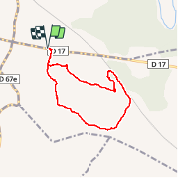

6,9 km | 8,5 km-effort

Sport - Santé - Sénior


Kostenlosegpshiking-Anwendung
 SityTrail
IGN / Geografische Institute
SityTrail World
Die Welt öffnet sich für Sie
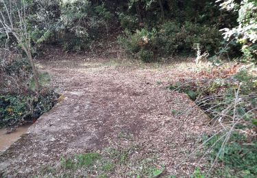
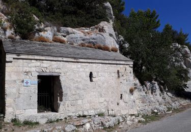
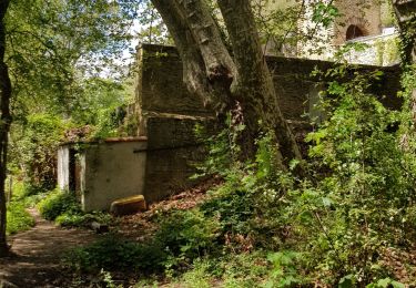
Tour Wandern von 6,9 km verfügbar auf Provence-Alpes-Côte d'Azur, Bouches-du-Rhône, Saint-Cannat. Diese Tour wird von Retraite sportive lambescaine provencale vorgeschlagen.
marche
Wandern
Wandern

Wandern
Wandern
Wandern
Wandern
Wandern
Rennrad
Nordic Walking