


30 km | 43 km-effort

Benutzer


Kostenlosegpshiking-Anwendung
 SityTrail
IGN / Geografische Institute
SityTrail World
Die Welt öffnet sich für Sie
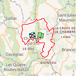
Tour Wandern von 15,5 km verfügbar auf Neu-Aquitanien, Corrèze, Chauffour-sur-Vell. Diese Tour wird von tracegps vorgeschlagen.
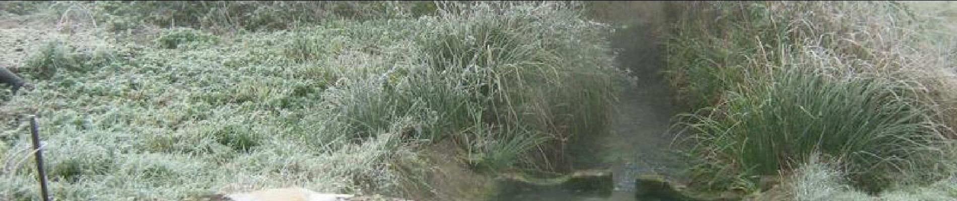
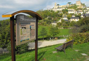
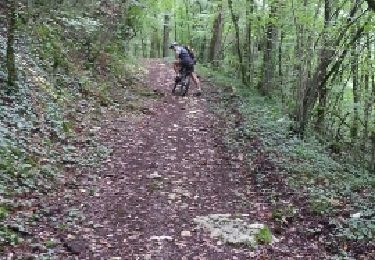
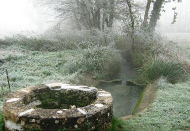
Aux confins du Quercy - Chauffour sur Vell - Pays de la vallée de la Dordogne Corrézienne. Quittant les derniers contreforts du Massif Central boisé et frais, vous tomberez sous le charme du causse quercynois sec et pauvre, avec ses cazelles, ses murettes de pierre sèche et ses prairies à orchidées. Admirez aussi les châteaux et paysages remarquables. Vous trouverez enfin un peu de fraîcheur auprès des différents points d’eau de la vallée (résurgence du Vell, marais de la Fondial). Téléchargez la fiche du circuit sur le site du Conseil Général de la Corrèze. Renseignements ; Mairie de Chauffour sur Vell ; 05.55.25.42.82

Mountainbike
Mountainbike
Mountainbike

Mountainbike
Mountainbike
Mountainbike
Mountainbike
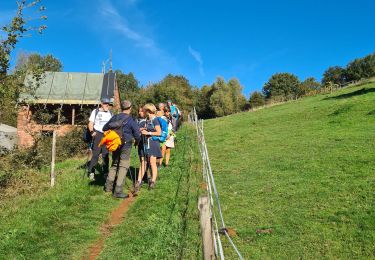
Wandern
Wandern