


13,2 km | 17,6 km-effort

Benutzer


Kostenlosegpshiking-Anwendung
 SityTrail
IGN / Geografische Institute
SityTrail World
Die Welt öffnet sich für Sie
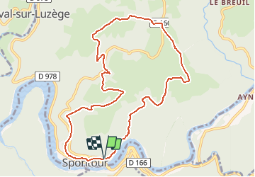
Tour Wandern von 10,7 km verfügbar auf Neu-Aquitanien, Corrèze, Soursac. Diese Tour wird von tracegps vorgeschlagen.
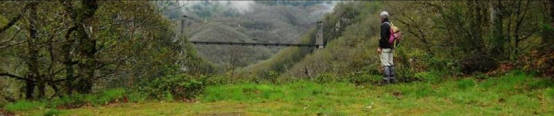
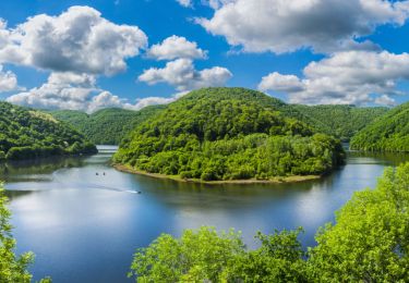
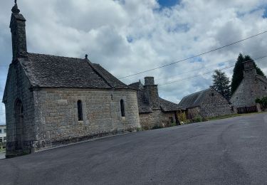
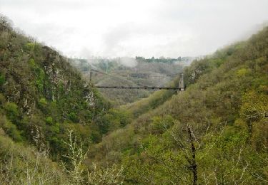
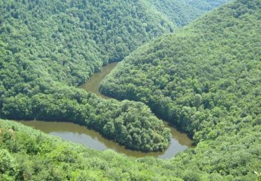
Des Gorges de la Dordogne au plateau Soursacois - Soursac - Pays de Haute Corrèze Départ du dernier port des gabariers au XXème siècle. Montée jusqu’au village de Durfort par un chemin abrupte, surplombant la retenue du Chastang à travers chênes et châtaigniers. Découverte du petit patrimoine (puit, abreuvoir et croix en pierres). A l’intersection de la départementale, magnifique point de vue sur les Monts d’Auvergne. Après Chalimont et le Poumeyrol, plongée sur la vallée de la Dordogne pour une arrivée surprenante à Spontour, village original et typique. Téléchargez la fiche du circuit sur le site du Conseil Général de la Corrèze. Renseignements : Mairie de Soursac 05.55.27.52.61


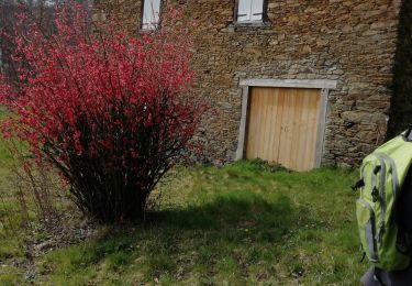
Wandern
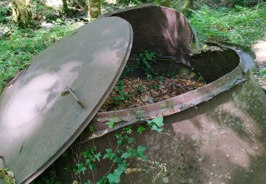
Wandern
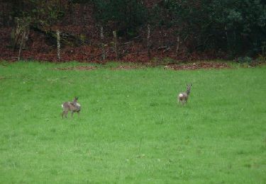
Wandern
Wandern
Wandern
Mountainbike
Wandern

Pferd
Mountainbike