


6,9 km | 8,7 km-effort


Benutzer


Kostenlosegpshiking-Anwendung
 SityTrail
IGN / Geografische Institute
SityTrail World
Die Welt öffnet sich für Sie
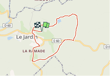
Tour Wandern von 4,2 km verfügbar auf Neu-Aquitanien, Corrèze, Le Jardin. Diese Tour wird von tracegps vorgeschlagen.
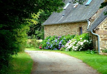
Le Jardin Bourg - Pays d'Égletons. Entre la rivière du Doustre et le ruisseau du Gagnoux, perché sur le plateau, le village du Jardin propose une balade en douceur à l’ombrage des hêtres et des châtaigniers. Ce sont dans les couleurs d’automne que le sentier réserve de belles rencontres, pigeons et pinsons des arbres apprécient ces sous bois et se gavent de faines de hêtre pour poursuivre leur épopée migratrice. Téléchargez la fiche du circuit sur le site du Conseil Général de la Corrèze. Renseignements : Communauté de Communes de Ventadour 05.55.27.69.26


Wandern
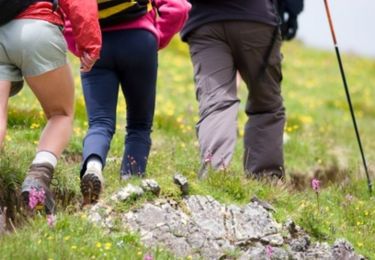
Wandern
Zu Fuß

Zu Fuß

Wandern

Pferd

Mountainbike

Wandern

Mountainbike