


27 km | 34 km-effort

Benutzer


Kostenlosegpshiking-Anwendung
 SityTrail
IGN / Geografische Institute
SityTrail World
Die Welt öffnet sich für Sie
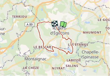
Tour Wandern von 11,5 km verfügbar auf Neu-Aquitanien, Corrèze, Rosiers-d'Égletons. Diese Tour wird von tracegps vorgeschlagen.
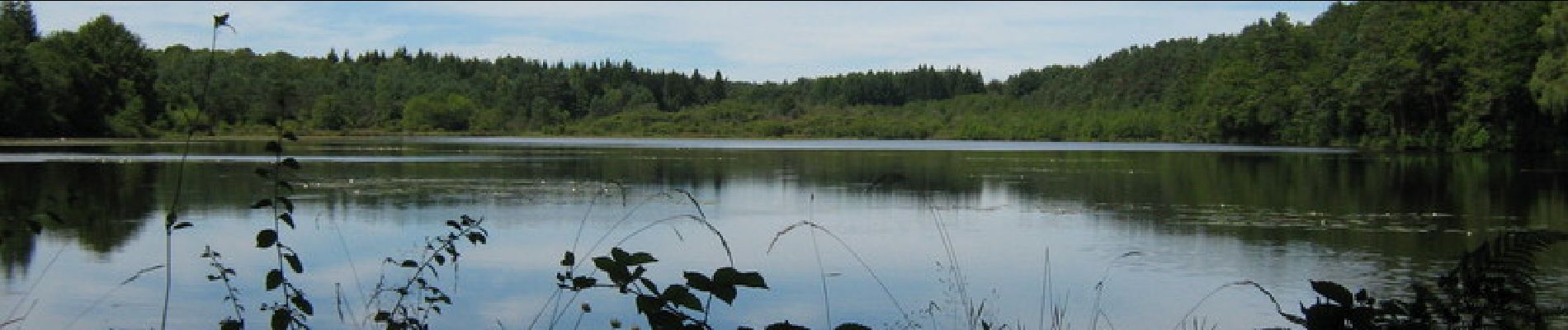
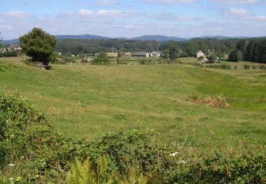
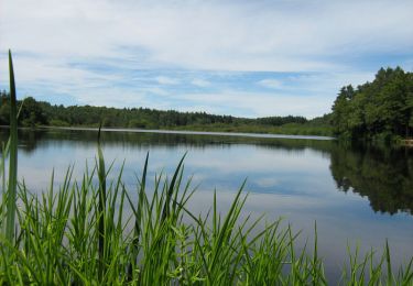
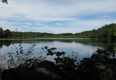
Par les Puys - Rosiers d'Egletons - Pays d'Egletons Cet itinéraire vous fera découvrir deux entités paysagères très contrastées. Au nord ouest de Rosiers d’Egletons, les sentinelles boisées du plateau aux formes douces et arrondies, dominent et gardent les abords de la Montagne Limousine. Au sud, la plaine du Doustre s’étale doucement en suivant la rivière dans un cortège de prairies humides, d’étangs poissonneux et de forêts de feuillus. Téléchargez la fiche du circuit sur le site du Conseil Général de la Corrèze. Renseignements : Communauté de Communes de Ventadour 05.55.27.69.26


Mountainbike

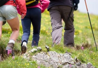
Wandern
Zu Fuß

Wandern
Wandern
Mountainbike

Wandern
Mountainbike
Mountainbike