


11,3 km | 15,6 km-effort

Benutzer


Kostenlosegpshiking-Anwendung
 SityTrail
IGN / Geografische Institute
SityTrail World
Die Welt öffnet sich für Sie
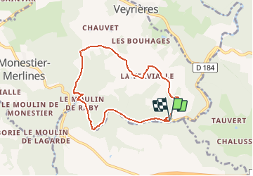
Tour Mountainbike von 7,2 km verfügbar auf Neu-Aquitanien, Corrèze, Monestier-Merlines. Diese Tour wird von tracegps vorgeschlagen.
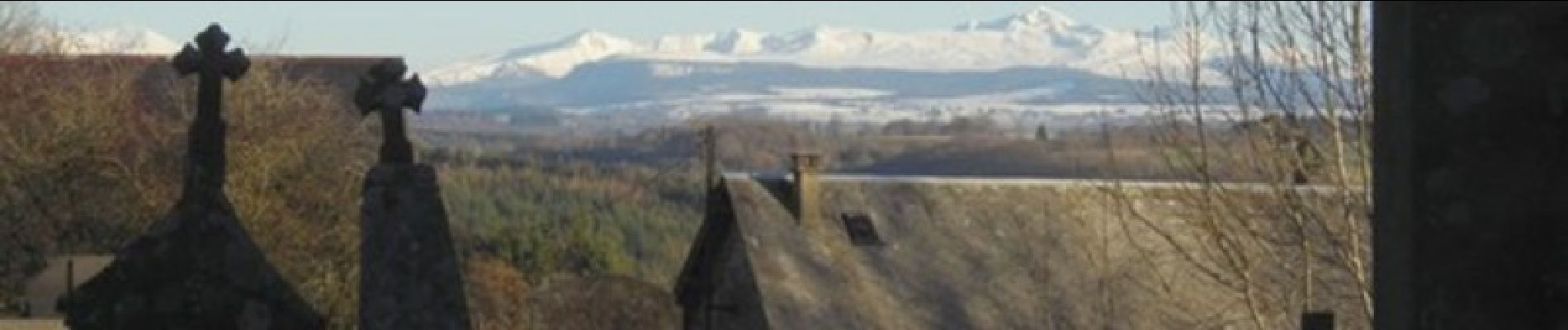
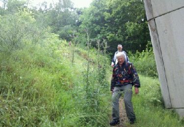
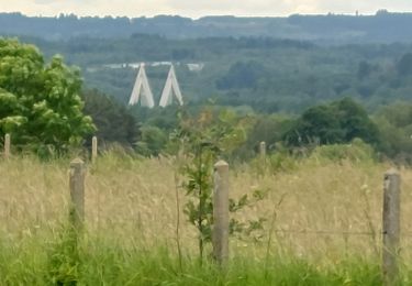
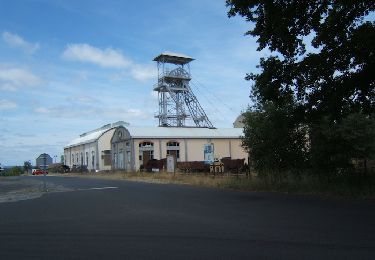
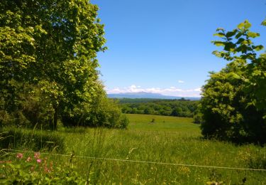
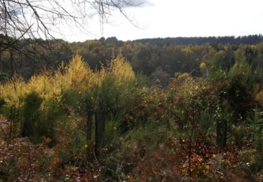
Les Ermites variante courte - Monestier Merlines - Pays de Haute Corrèze Un circuit sur le territoire de la Communauté de communes du Pays d'Eygurande. La Vallée encaissée du Chavanon est un site sauvage des plus remarquable du Massif Central. Elle héberge des espèces remarquables et rares ; c’est également un site historique majeur de notre canton. Propice à la méditation, elle accueillit des ermites (bénédictins) à partir du 12ème siècle. Leur site monastique existe toujours, il abrite aujourd’hui le centre hospitalier. Vous pourrez profiter du calme le long de la rivière et, çà et là, découvrir de magnifiques points de vues sur l’Auvergne. Téléchargez la fiche du circuit sur le site du Conseil Général de la Corrèze. Renseignements à la Mairie de Monestier Merlines au 05.55.94.33.61

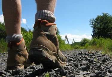
Wandern
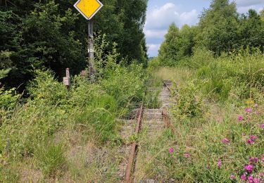
Wandern
Wandern
Wandern
Wandern
Wandern

Mountainbike
Wandern

Wandern