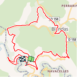

10,6 km | 14,5 km-effort

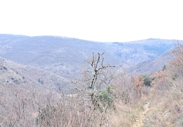
La marche dans les monts d'Orb, le Caroux, et dans l'Hérault et l'aveyron


Kostenlosegpshiking-Anwendung
 SityTrail
IGN / Geografische Institute
SityTrail World
Die Welt öffnet sich für Sie
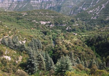
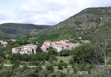
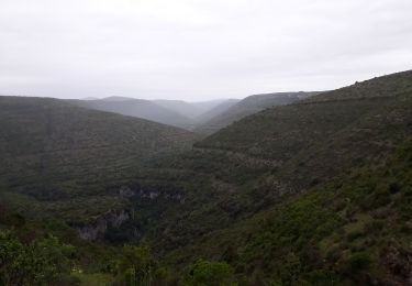
Tour Wandern von 15,3 km verfügbar auf Okzitanien, Gard, Blandas. Diese Tour wird von Groupe de marche du Recantou vorgeschlagen.
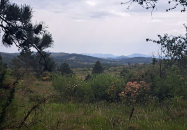
Une très belle randonnée autour de Navacelle d'après le site Randonnée cevenole
Wandern
Wandern
Zu Fuß
Zu Fuß
Wandern
Wandern
Wandern

Wandern