


14,2 km | 15,4 km-effort


Benutzer


Kostenlosegpshiking-Anwendung
 SityTrail
IGN / Geografische Institute
SityTrail World
Die Welt öffnet sich für Sie
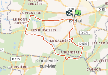
Tour Wandern von 8 km verfügbar auf Normandie, Manche, Bréhal. Diese Tour wird von tracegps vorgeschlagen.
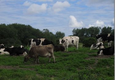
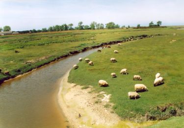
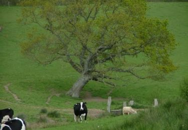
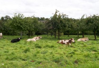
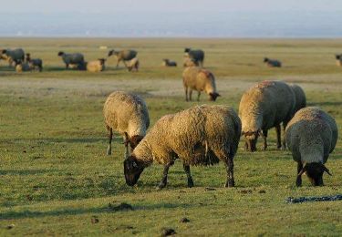
La commune de Bréhal offre aux touristes une grande variété de paysages : le bocage avec ses chemins creux, ses petits champs et une agriculture essentiellement d'élevage. Le marais formé par la rivière La Vanlée (site naturel classé)où passent les fameux moutons de prés salés et qui sert d'étape à de nombreux oiseaux migrateurs (grues, hérons, tadornes,...). Lors des grandes marées, ce site remarquable est entièrement recouvert par la mer. Et la plage de Saint-Martin qui offre trois kilomètres de sable fin et présente un caractère plutôt familial. On y trouve tous les plaisirs de la baignade, mais aussi de la pêche à pied lors des grandes marées (coques, moules, praires, soles). Source Mairie de Bréhal
Wandern
Mountainbike
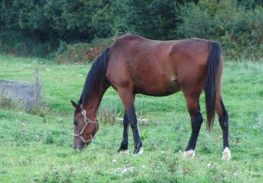
Reiten
Wandern
Wandern
Wandern
Wandern
Wandern
Wandern