


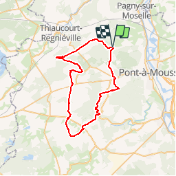

19,9 km | 26 km-effort


Benutzer


Kostenlosegpshiking-Anwendung
 SityTrail
IGN / Geografische Institute
SityTrail World
Die Welt öffnet sich für Sie
Tour Mountainbike von 47 km verfügbar auf Großer Osten, Mörthe und Mosel, Vilcey-sur-Trey. Diese Tour wird von tracegps vorgeschlagen.
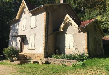
Une balade entre une nature fortement marquée par l’histoire de la Grande Guerre et des combats du Saillant de St-Mihiel. Dans la région de Pont-à-Mousson, ville porte du du Parc Naturel Régional de Lorraine, ce circuit vous fera découvrir les principaux sites et villages détruits rappelant cette page d’Histoire de Lorraine. Départ de Vilcey-sur-Treye, place de la mairie. Retrouvez ici le plan et descriptif du circuit. Vous pouvez obtenir le guide par courrier auprès du Parc Naturel Régional de Lorraine.


Mountainbike

Wandern
Wandern

Wandern

Wandern
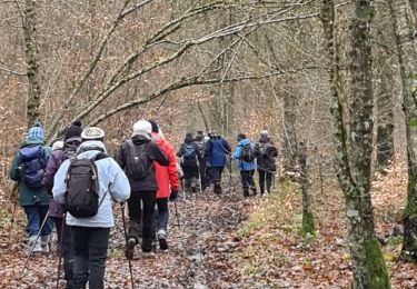
Wandern
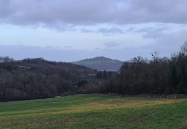
Wandern
Wandern

Wandern