


9,4 km | 9,9 km-effort


Benutzer


Kostenlosegpshiking-Anwendung
 SityTrail
IGN / Geografische Institute
SityTrail World
Die Welt öffnet sich für Sie
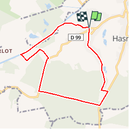
Tour Wandern von 7,4 km verfügbar auf Nordfrankreich, Nord, Hasnon. Diese Tour wird von tracegps vorgeschlagen.
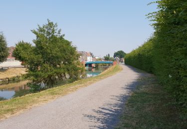
Circuit proposé par le comité départemental du Nord. Fiche n° 9 de la pochette «Histoires Abbatiales et patrimoine minier». Départ du hameau de Cataine à Hasnon. Ce circuit court emprunte des chemins de terre, le chemin de halage de la Scarpe et les drèves forestières du bois des Eclusettes. En période de pluie, le port de chaussures étanches s'avère indispensable. Retrouvez cette randonnée sur le site du Comité Départemental du Tourisme du Nord.


Wandern

Wandern
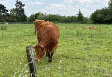
Wandern

Wandern

Wandern


Wandern
Wandern
Mountainbike