


22 km | 33 km-effort

Benutzer


Kostenlosegpshiking-Anwendung
 SityTrail
IGN / Geografische Institute
SityTrail World
Die Welt öffnet sich für Sie
Tour Wandern von 82 km verfügbar auf Burgund und Freigrafschaft, Jura, Montaigu. Diese Tour wird von tracegps vorgeschlagen.
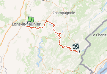
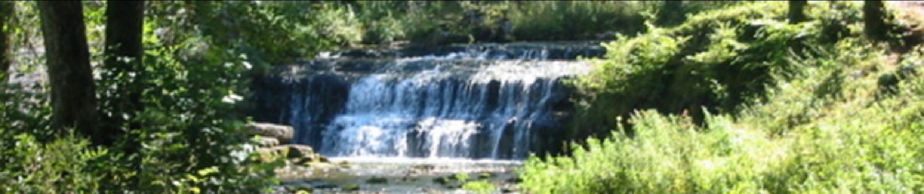
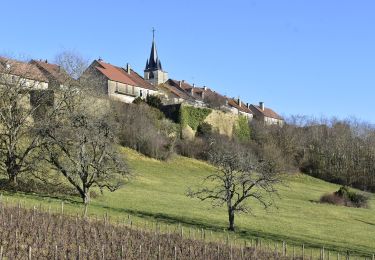
Le Jura d’Ouest en Est sur le GR 559®. Le GR559® de 95km permet de traverser plusieurs zones touristiques du département du Jura d’Ouest en Est. Du bas Jura (Lons Le Saunier) au haut Jura (Les Rousses) en passant par la région des lacs et les cascades du Hérisson.


Wandern
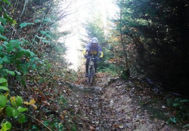
Mountainbike
Wandern
Wandern
Wandern
Hybrid-Bike
Wandern
Wandern
Wandern