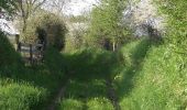

Circuit de Fervaches - C10 III

tracegps
Benutzer

Länge
1,8 km

Maximale Höhe
100 m

Positive Höhendifferenz
15 m

Km-Effort
2,1 km

Min. Höhe
85 m

Negative Höhendifferenz
16 m
Boucle
Ja
Erstellungsdatum :
2014-12-10 00:00:00.0
Letzte Änderung :
2014-12-10 00:00:00.0
30m
Schwierigkeit : Einfach

Kostenlosegpshiking-Anwendung
Über SityTrail
Tour Wandern von 1,8 km verfügbar auf Normandie, Manche, Tessy-Bocage. Diese Tour wird von tracegps vorgeschlagen.
Beschreibung
Circuit proposé par la Communauté de Communes de Tessy sur Vire. Départ de l’église de Fervaches. Retrouvez le descriptif et les commentaires du circuit sur le site de la Communauté de Communes de Tessy sur Vire.
Ort
Land:
France
Region :
Normandie
Abteilung/Provinz :
Manche
Kommune :
Tessy-Bocage
Standort:
Fervaches
Gehen Sie:(Dec)
Gehen Sie:(UTM)
640068 ; 5428676 (30U) N.
Kommentare
Touren in der Umgebung
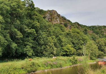
Le rocher de Ham


Wandern
Einfach
(1)
Condé-sur-Vire,
Normandie,
Manche,
France

10,9 km | 13,4 km-effort
2h 24min
Ja
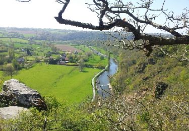
Roches de ham


Wandern
Einfach
(1)
Condé-sur-Vire,
Normandie,
Manche,
France

11,1 km | 13,5 km-effort
2h 58min
Ja
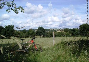
Au coeur de la vallée de la Vire


Mountainbike
Schwierig
(2)
Domjean,
Normandie,
Manche,
France

32 km | 39 km-effort
4h 0min
Ja
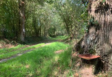
Rando gorge de la Vire


Wandern
Einfach
Domjean,
Normandie,
Manche,
France

35 km | 42 km-effort
10h 25min
Ja
Tessy-sur-Vire - C 13-V


Wandern
Einfach
Tessy-Bocage,
Normandie,
Manche,
France

3,4 km | 4,1 km-effort
1h 0min
Ja
Tessy-sur-Vire - C 13-II


Mountainbike
Einfach
Tessy-Bocage,
Normandie,
Manche,
France

8,8 km | 10,5 km-effort
1h 0min
Ja
Tessy-sur-Vire - C 13-II


Wandern
Medium
Tessy-Bocage,
Normandie,
Manche,
France

8,8 km | 10,5 km-effort
2h 15min
Ja
Tessy-sur-Vire - C 13-I


Wandern
Einfach
Tessy-Bocage,
Normandie,
Manche,
France

3,6 km | 4,7 km-effort
1h 0min
Ja
Le Mesnil-Opac C12-II


Mountainbike
Einfach
Moyon-Villages,
Normandie,
Manche,
France

7,2 km | 8,4 km-effort
45min
Ja


 SityTrail


