
Circuit de Saint Vigor des Monts - C9 II

tracegps
Benutzer

Länge
3,5 km

Maximale Höhe
160 m

Positive Höhendifferenz
129 m

Km-Effort
5,3 km

Min. Höhe
62 m

Negative Höhendifferenz
134 m
Boucle
Ja
Erstellungsdatum :
2014-12-10 00:00:00.0
Letzte Änderung :
2014-12-10 00:00:00.0
1h00
Schwierigkeit : Einfach

Kostenlosegpshiking-Anwendung
Über SityTrail
Tour Wandern von 3,5 km verfügbar auf Normandie, Manche, Saint-Vigor-des-Monts. Diese Tour wird von tracegps vorgeschlagen.
Beschreibung
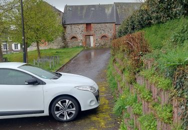
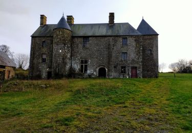
Circuit proposé par la Communauté de Communes de Tessy sur Vire. Départ du village de La Fertiére, prés de St-Vigor-des-Monts. Retrouvez le descriptif et les commentaires du circuit sur le site de la Communauté de Communes de Tessy sur Vire.
Ort
Land:
France
Region :
Normandie
Abteilung/Provinz :
Manche
Kommune :
Saint-Vigor-des-Monts
Standort:
Unknown
Gehen Sie:(Dec)
Gehen Sie:(UTM)
644560 ; 5419784 (30U) N.
Kommentare
Touren in der Umgebung

rando haras pont farcy


Nordic Walking
Sehr leicht
(1)
Tessy-Bocage,
Normandie,
Manche,
France

9,9 km | 11,9 km-effort
2h 1min
Nein

rando eleanore


Nordic Walking
Schwierig
(1)
Gouvets,
Normandie,
Manche,
France

11,1 km | 13,7 km-effort
2h 14min
Ja

Circuit de Saint Vigor des Monts - C9 I


Wandern
Einfach
Saint-Vigor-des-Monts,
Normandie,
Manche,
France

4,4 km | 6,3 km-effort
1h 15min
Ja

bures les monts


Wandern
Einfach
Souleuvre-en-Bocage,
Normandie,
Calvados,
France

6,4 km | 8,2 km-effort
19min
Ja

chemin de halage


Hybrid-Bike
Einfach
Tessy-Bocage,
Normandie,
Manche,
France

9,7 km | 10,8 km-effort
56min
Nein

2016-Vélofrancette n° 10


Fahrrad
Schwierig
Tessy-Bocage,
Normandie,
Manche,
France

39 km | 48 km-effort
2h 46min
Nein

Gorges de la vire


Auto
Landelles-et-Coupigny,
Normandie,
Calvados,
France

50 km | 59 km-effort
2h 23min
Nein


bures


Zu Fuß
Medium
Souleuvre-en-Bocage,
Normandie,
Calvados,
France

19,5 km | 26 km-effort
5h 52min
Ja


 SityTrail


