


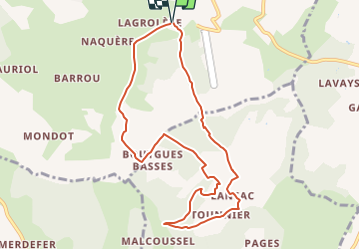

9,4 km | 12,1 km-effort

Benutzer


Kostenlosegpshiking-Anwendung
 SityTrail
IGN / Geografische Institute
SityTrail World
Die Welt öffnet sich für Sie
Tour Wandern von 9,5 km verfügbar auf Neu-Aquitanien, Lot-et-Garonne, Montayral. Diese Tour wird von tracegps vorgeschlagen.
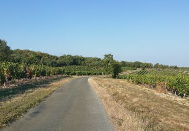
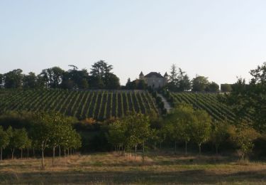
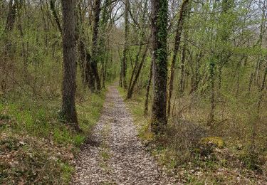
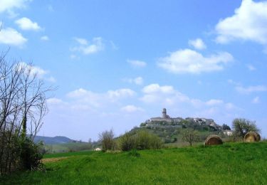
Montayral / Bazérac Cté de Communes Fumélois Lémance. Vergers de pruniers d’Ente et vignobles alternent avec les combes boisées et les pechs arides des portes du Quercy. Téléchargez la fiche de cette randonnée sur le site du Tourisme du Lot et Garonne.

Pferd
Mountainbike

Wandern

Motor
Radtourismus
Wandern
Mountainbike

Mountainbike