


15,2 km | 22 km-effort


Benutzer


Kostenlosegpshiking-Anwendung
 SityTrail
IGN / Geografische Institute
SityTrail World
Die Welt öffnet sich für Sie
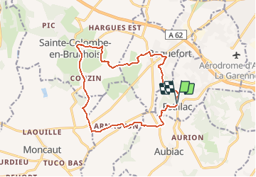
Tour Wandern von 15,7 km verfügbar auf Neu-Aquitanien, Lot-et-Garonne, Estillac. Diese Tour wird von tracegps vorgeschlagen.
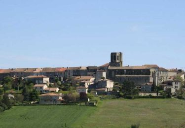
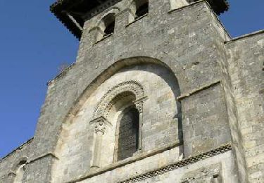
Estillac / Sainte Colombe / Roquefort C. C. du Canton de Laplume en Bruilhois Quatre hauts lieux du Bruilhois sont desservis par ce parcours exigeant, avec la perspective de nombreux points de vue, coulant des coteaux de Gascogne, au sud, à la vallée de la Garonne au nord. Téléchargez la fiche de cette randonnée sur le site du Tourisme du Lot et Garonne.


Wandern

Mountainbike

Wandern

Wandern
Wandern
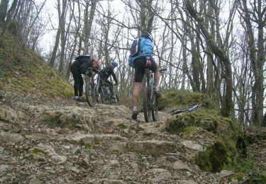
Mountainbike

Pferd

Mountainbike
Wandern
F/PE-145 Cap de Campet