


18 km | 21 km-effort

Benutzer


Kostenlosegpshiking-Anwendung
 SityTrail
IGN / Geografische Institute
SityTrail World
Die Welt öffnet sich für Sie
Tour Fahrrad von 29 km verfügbar auf Großer Osten, Mosel, Duß. Diese Tour wird von tracegps vorgeschlagen.
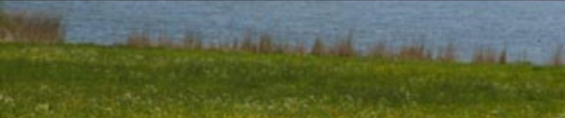
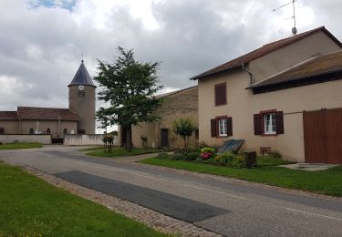
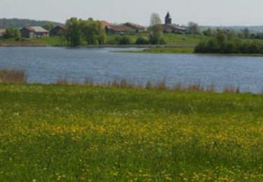
Au départ de Dieuze, le circuit vous permet de découvrir sur 8 km, les paysages remarquables des abords de l'étang de Lindre. Dieuze, ville porte du Parc Naturel Régional des Etangs, doit son expansion à la production de sel, comme en témoigne la porte des salines royales. Le Domaine de Lindre, propriété du Département de la Moselle, est reconnu comme site naturel communautaire et international pour la richesse de sa flore, de sa faune et de ses paysages. C'est aussi le plus grand étang piscicole de France. Une signalisation spécifique a été mise en place sur l'ensemble de l'itinéraire. Les panneaux indiquent le sens de circulation, les directions et les choix de parcours. L'itinéraire se poursuit également jusque Marsal en passant par Blanche-Eglise, le long de la Seille


Wandern
Fahrrad
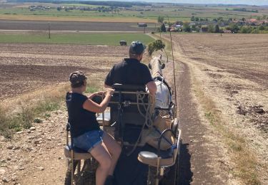
Kutsche fahren

Wandern

Pferd
Fahrrad

Wandern
Wandern