


8,1 km | 8,4 km-effort

Benutzer


Kostenlosegpshiking-Anwendung
 SityTrail
IGN / Geografische Institute
SityTrail World
Die Welt öffnet sich für Sie
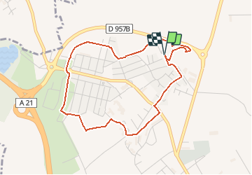
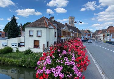
Tour Wandern von 4 km verfügbar auf Nordfrankreich, Nord, Somain. Diese Tour wird von tracegps vorgeschlagen.
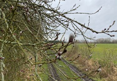
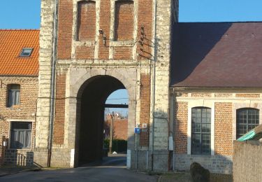
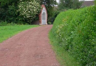
Circuit proposé par le Comité Départemental du Tourisme du Nord. Fiche n° 19 de la pochette « Ballades en Nord, morceaux choisis ». Le Départ se fait dans l’enceinte du Prieuré de Beaurepaire. Circuit sans difficulté au cœur de « chés corons ». Attention sur la carte IGN le nouveau lotissement n’apparaît pas. Suivre le balisage. Retrouvez cette randonnée sur le site du Comité Départemental du Tourisme du Nord.


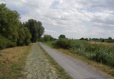
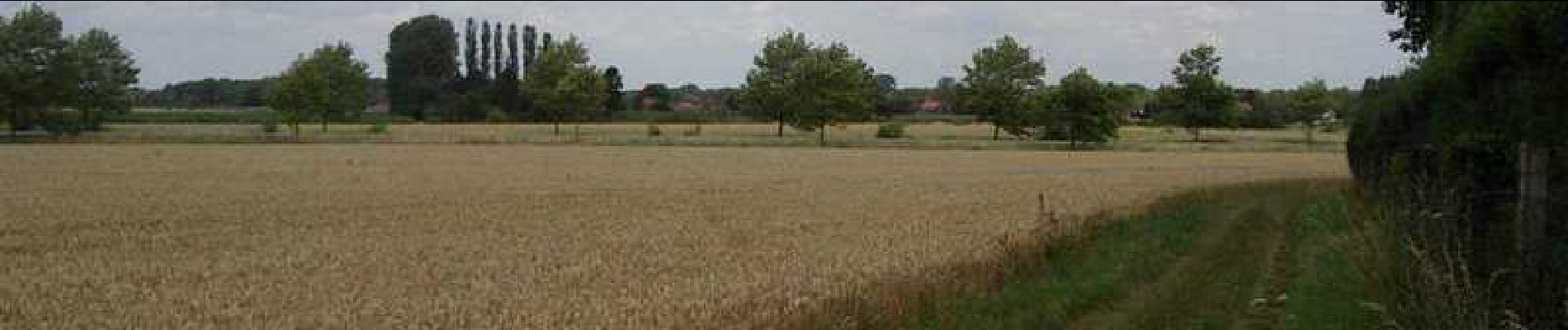
Wandern
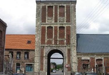
Wandern

Wandern
Wandern
Wandern
Wandern

Wandern
Wandern
Wandern