


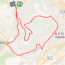


13,2 km | 16 km-effort

Benutzer


Kostenlosegpshiking-Anwendung
 SityTrail
IGN / Geografische Institute
SityTrail World
Die Welt öffnet sich für Sie
Tour Wandern von 5,4 km verfügbar auf Nordfrankreich, Aisne, Laon. Diese Tour wird von tracegps vorgeschlagen.
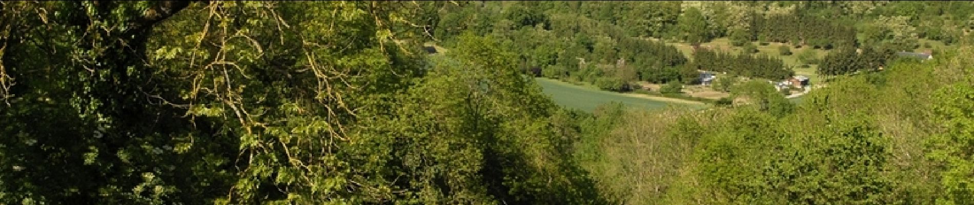
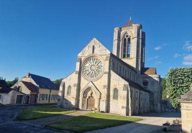
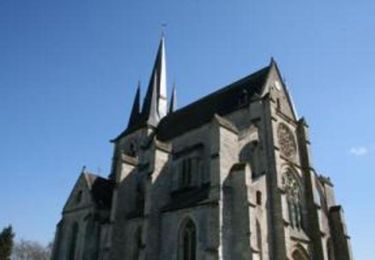
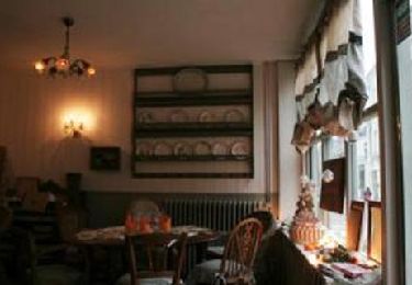
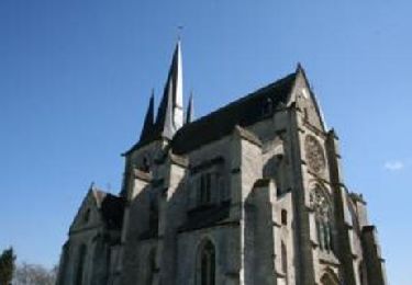
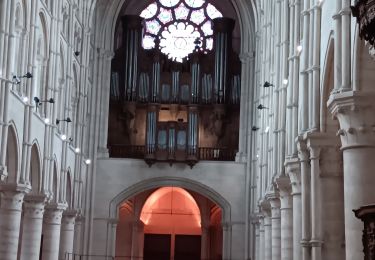
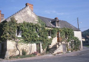
Surnommée la « Montagne Couronnée », la cité médiévale de Laon regorge d’un patrimoine insolite. En effet, fontaines, lavoirs et abreuvoirs recueillent l’eau de la multitude de sources qui naissent de la butte. Découvrez ce patrimoine étonnant et inattendu. Retrouvez d'autres informations ICI.

Wandern
Wandern
Wandern
Wandern
Wandern

Wandern
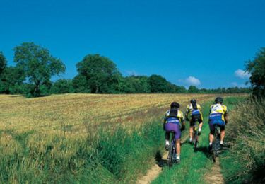
Mountainbike
Wandern