


10,2 km | 12,3 km-effort

Benutzer


Kostenlosegpshiking-Anwendung
 SityTrail
IGN / Geografische Institute
SityTrail World
Die Welt öffnet sich für Sie
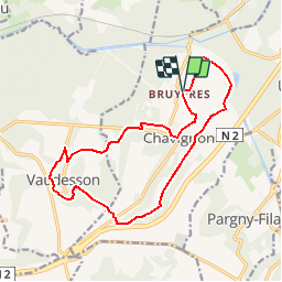
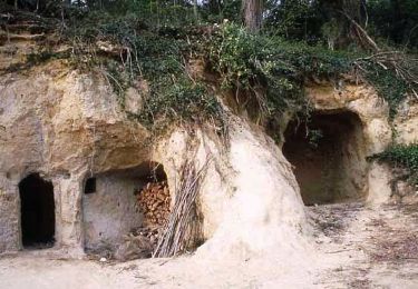
Tour Wandern von 14,5 km verfügbar auf Nordfrankreich, Aisne, Chavignon. Diese Tour wird von tracegps vorgeschlagen.
Non loin du lac de Monampteuil, cette longue boucle vallonnée évolue entre le pont Noir, brisé lors de la Seconde Guerre mondiale, et le bélier, système hydraulique perpétuel qui remonte les eaux venues des pentes vers la ferme de la Malmaison. Retrouvez toutes les informations nécessaires ICI.

Wandern

Wandern
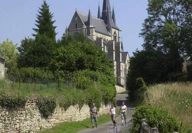
Wandern

Wandern

Nordic Walking
Wandern
Wandern
Wandern
Wandern
parcour varié