


10,6 km | 14,1 km-effort

Benutzer


Kostenlosegpshiking-Anwendung
 SityTrail
IGN / Geografische Institute
SityTrail World
Die Welt öffnet sich für Sie
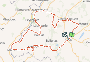
Tour Fahrrad von 54 km verfügbar auf Okzitanien, Tarn-et-Garonne, Lavit. Diese Tour wird von tracegps vorgeschlagen.
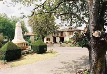
Comme la Gimone, l'Arrats (131 km) descend du plateau de Lannemezan et se jette dans la Garonne à Valence d'Agen. Vous la suivrez, à contre courant, de Mansonville à Gramont. A voir sur le circuit * La Maison de la Lomagne * L'église de Lachapelle * Le château de Gramont * Le musée du Miel à Gramont * Le village de Montgaillard Retrouvez la fiche de cette randonnée sur le site de l’Office de Tourisme Intercommunal de la Lomagne Tarn et Garonnaise.


Mountainbike

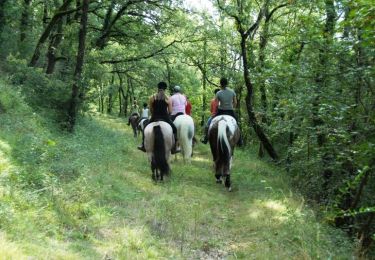
Wandern
Mountainbike

Wandern
Mountainbike

Wandern
Mountainbike

Wandern
Mountainbike