


10,6 km | 14,1 km-effort

Benutzer


Kostenlosegpshiking-Anwendung
 SityTrail
IGN / Geografische Institute
SityTrail World
Die Welt öffnet sich für Sie
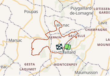
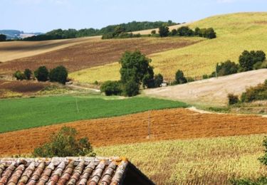
Tour Mountainbike von 16,3 km verfügbar auf Okzitanien, Tarn-et-Garonne, Montgaillard. Diese Tour wird von tracegps vorgeschlagen.
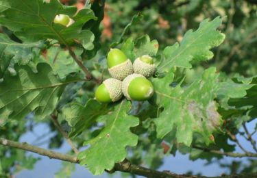
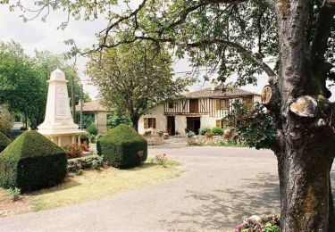
Village pittoresque, Montgaillard est un ancien village de potiers. A la place de l'ancien château des seigneurs de Percin de Montgaillard fût reconstruite une maison bourgeoise dont ne subsistent qu’une tour d’angle et une partie des fossés. Retrouvez la fiche de cette randonnée sur le site de l’Office de Tourisme Intercommunal de la Lomagne Tarn et Garonnaise. Crédit-Photo : ©OTI Lomagne-G.Cassaro


Mountainbike

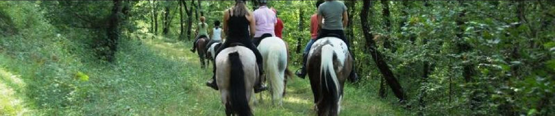
Wandern
Mountainbike

Wandern
Mountainbike

Wandern
Fahrrad
Mountainbike

Wandern