


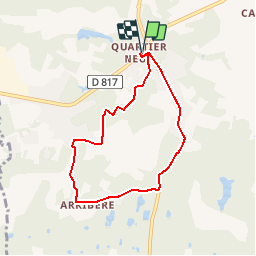

7,8 km | 8,7 km-effort

Benutzer


Kostenlosegpshiking-Anwendung
 SityTrail
IGN / Geografische Institute
SityTrail World
Die Welt öffnet sich für Sie
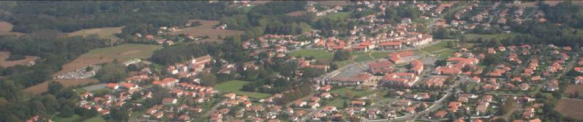
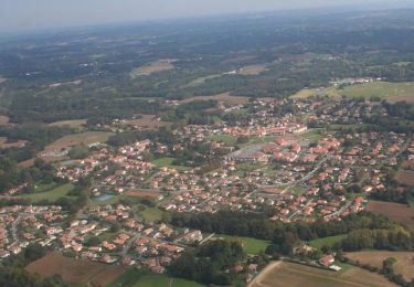
Tour Mountainbike von 6,8 km verfügbar auf Neu-Aquitanien, Landes, Saint-Martin-de-Seignanx. Diese Tour wird von tracegps vorgeschlagen.
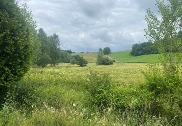
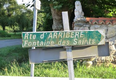
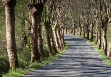
Promenez-vous à la fraîcheur agréable de divers arbres comme les pins, les chênes, les châtaigniers, les acacias... en traversant les barthes de l'Adour, zones marécageuses.


sport
Zu Fuß

Mountainbike
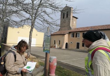
Wandern
Mountainbike
Wandern
Wandern

Wandern
Wandern