


13,7 km | 15,5 km-effort

Benutzer


Kostenlosegpshiking-Anwendung
 SityTrail
IGN / Geografische Institute
SityTrail World
Die Welt öffnet sich für Sie
Tour Wandern von 143 km verfügbar auf Neu-Aquitanien, Gironde, Gujan-Mestras. Diese Tour wird von tracegps vorgeschlagen.
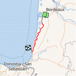
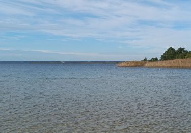
Cette Voie du Littoral, réaménagée en 2008, est là seule à passer dans le Seignanx. Elle est le prolongement naturel de la Voie du Mont-Saint-Michel et de la Voie de Soulac, dite Voie des Anglais. Elle longe la côte depuis Sanguinet jusqu'à Tarnos et son chapelet de lacs. Le Seignanx est un lieu ancestral de culture hospitalière puisque l'église St Vincent de Tarnos est une ancienne commanderie hôpital des chevaliers de St Jean de Jérusalem, qui servait principalement à accueillir les pèlerins de St Jacques de Compostelle suivant la Voie du Littoral. Le Seignanx est aussi une étape capitale dans le choix de voie pour arriver à Compostelle. Nous avons avant Bayonne un double choix : - Soit on part de Bayonne par la Voie du Baztan jusqu'à Pampelune et on rejoint ainsi le fameux Camino francés, - Soit on continue sur la Voie du Littoral jusqu'à Irun pour prendre le Camino del Norte. Les amis de Saint-Jacques des Landes situées à Mont-de-Marsan vous donnent toutes les informations pratiques supplémentaires utiles pour votre circuit ICI.


Wandern
Hybrid-Bike
Hybrid-Bike
Wandern
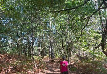
Wandern
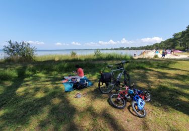
Hybrid-Bike
Mountainbike
Wandern
Wandern
lac d' Estaens