![](/images/other/stat-length.png)
![Tour Mountainbike Mesnil-en-Ouche - Circuit des vallons d'Epinay - Photo](https://media.geolcdn.com/t/1900/400/ext.pjpeg?maxdim=2&url=https%3A%2F%2Fservices.sitytrail.com%2FGeolivesWS%2FDownloadMedia.ashx%3FTrailID%3D110179%26Media%3D5386_6.jpg)
Circuit des vallons d'Epinay
tracegps
Benutzer
![Länge](/images/other/stat-length.png)
Länge
11,1 km
![Maximale Höhe](https://static1.geolcdn.com/siteimages/upload/files/1508320355ic_sort_altitude_max_24dp.png)
Maximale Höhe
190 m
![Positive Höhendifferenz](https://static1.geolcdn.com/siteimages/upload/files/1508320355ic_sort_den_pos_24dp.png)
Positive Höhendifferenz
115 m
![Km-Effort](/images/other/stat-length.png)
Km-Effort
12,7 km
![Min. Höhe](https://static1.geolcdn.com/siteimages/upload/files/1508320355ic_sort_altitude_min_24dp.png)
Min. Höhe
154 m
![Negative Höhendifferenz](https://static1.geolcdn.com/siteimages/upload/files/1508320355ic_sort_den_neg_24dp.png)
Negative Höhendifferenz
115 m
![Boucle](https://static1.geolcdn.com/siteimages/upload/files/16400158638029165_repeat_loop_refresh_sync_direction_icon.png)
Boucle
Ja
Erstellungsdatum :
2014-12-10 00:00:00.0
Letzte Änderung :
2014-12-10 00:00:00.0
![Mountainbike](https://static1.geolcdn.com/sitytour/trail-icons/202.png)
1h30
Schwierigkeit : Medium
![Scannen Sie diesen QR-Code, um die Tour in der SityTrail-Anwendung zu öffnen](https://capi.geolives.com/qq0zvz2zws4bq2lad0pu/sitytour/trails/110179/qr.png?size=200)
Kostenlosegpshiking-Anwendung
Über SityTrail
Tour Mountainbike von 11,1 km verfügbar auf Normandie, Eure, Mesnil-en-Ouche. Diese Tour wird von tracegps vorgeschlagen.
Beschreibung
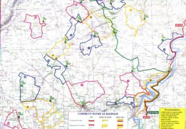
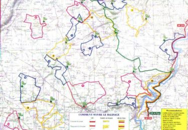
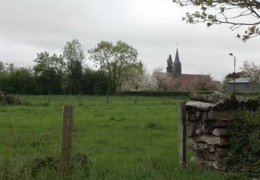
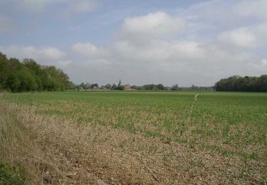
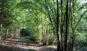
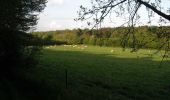
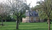
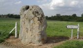
Circuit proposé par la Communauté de Communes du canton de Beaumesnil et l’Office de Tourisme de Beaumesnil. Départ de la mairie d’Epinay. Retrouvez ce circuit, parmi 17 autres, sur le dépliant proposé par l’office de Tourisme.
Ort
Land:
France
Region :
Normandie
Abteilung/Provinz :
Eure
Kommune :
Mesnil-en-Ouche
Standort:
Unknown
Gehen Sie:(Dec)
Gehen Sie:(UTM)
327462 ; 5428001 (31U) N.
Kommentare
Touren in der Umgebung
![Tour Wandern Mesnil-en-Ouche - Circuit des vallons d'Epinay - Photo](https://media.geolcdn.com/t/375/260/ext.jpg?maxdim=2&url=https%3A%2F%2Fservices.sitytrail.com%2FGeolivesWS%2FDownloadMedia.ashx%3FTrailID%3D110178%26Media%3D5386_6.jpg)
![Wandern Wandern](https://static1.geolcdn.com/sitytour/trail-icons/101.png)
Circuit des vallons d'Epinay
Wandern
Medium
(2)
Mesnil-en-Ouche,
Normandie,
Eure,
France
![](/images/other/stat-length.png)
11,1 km | 12,7 km-effort
2h 45min
![](https://static1.geolcdn.com/siteimages/upload/files/16400158638029165_repeat_loop_refresh_sync_direction_icon.png)
Ja
![Wandern Wandern](https://static1.geolcdn.com/sitytour/trail-icons/101.png)
20220610-Beaumesnil
Wandern
Medium
Mesnil-en-Ouche,
Normandie,
Eure,
France
![](/images/other/stat-length.png)
22 km | 24 km-effort
5h 57min
![](https://static1.geolcdn.com/siteimages/upload/files/16400158638029165_repeat_loop_refresh_sync_direction_icon.png)
Ja
![Tour Rennrad Mesnil-en-Ouche - BeauMESNIL - Photo](https://media.geolcdn.com/t/375/260/8c2e4e2a-9262-4e1c-8514-56885f585f3f.jpg&format=jpg&maxdim=2)
![Rennrad Rennrad](https://static1.geolcdn.com/sitytour/trail-icons/201.png)
![Tour Mountainbike Mesnil-en-Ouche - Circuit de la Pinçonniére - Bosc - Renoult-en-Ouche - Photo](https://media.geolcdn.com/t/375/260/ext.jpg?maxdim=2&url=https%3A%2F%2Fservices.sitytrail.com%2FGeolivesWS%2FDownloadMedia.ashx%3FTrailID%3D110221%26Media%3D5486_3.jpg)
![Mountainbike Mountainbike](https://static1.geolcdn.com/sitytour/trail-icons/202.png)
Circuit de la Pinçonniére - Bosc - Renoult-en-Ouche
Mountainbike
Einfach
Mesnil-en-Ouche,
Normandie,
Eure,
France
![](/images/other/stat-length.png)
7,7 km | 8,4 km-effort
1h 0min
![](https://static1.geolcdn.com/siteimages/upload/files/16400158638029165_repeat_loop_refresh_sync_direction_icon.png)
Ja
![Tour Wandern Mesnil-en-Ouche - Circuit de la Pinçonniére - Bosc - Renoult-en-Ouche - Photo](https://media.geolcdn.com/t/375/260/ext.jpg?maxdim=2&url=https%3A%2F%2Fservices.sitytrail.com%2FGeolivesWS%2FDownloadMedia.ashx%3FTrailID%3D110220%26Media%3D5486_3.jpg)
![Wandern Wandern](https://static1.geolcdn.com/sitytour/trail-icons/101.png)
Circuit de la Pinçonniére - Bosc - Renoult-en-Ouche
Wandern
Medium
Mesnil-en-Ouche,
Normandie,
Eure,
France
![](/images/other/stat-length.png)
7,7 km | 8,4 km-effort
2h 0min
![](https://static1.geolcdn.com/siteimages/upload/files/16400158638029165_repeat_loop_refresh_sync_direction_icon.png)
Ja
![Tour Wandern Mesnil-en-Ouche - Circuit des bois de St Ouen - Gisay-la-Coudre - Photo](https://media.geolcdn.com/t/375/260/ext.jpg?maxdim=2&url=https%3A%2F%2Fservices.sitytrail.com%2FGeolivesWS%2FDownloadMedia.ashx%3FTrailID%3D110208%26Media%3D5453_6.jpg)
![Wandern Wandern](https://static1.geolcdn.com/sitytour/trail-icons/101.png)
Circuit des bois de St Ouen - Gisay-la-Coudre
Wandern
Schwierig
Mesnil-en-Ouche,
Normandie,
Eure,
France
![](/images/other/stat-length.png)
16,3 km | 17,6 km-effort
4h 0min
![](https://static1.geolcdn.com/siteimages/upload/files/16400158638029165_repeat_loop_refresh_sync_direction_icon.png)
Ja
![Tour Mountainbike Mesnil-en-Ouche - Circuit des Bouleaux - Ste Marguerite en Ouche - Photo](https://media.geolcdn.com/t/375/260/ext.jpg?maxdim=2&url=https%3A%2F%2Fservices.sitytrail.com%2FGeolivesWS%2FDownloadMedia.ashx%3FTrailID%3D110202%26Media%3D5432_6.jpg)
![Mountainbike Mountainbike](https://static1.geolcdn.com/sitytour/trail-icons/202.png)
Circuit des Bouleaux - Ste Marguerite en Ouche
Mountainbike
Einfach
Mesnil-en-Ouche,
Normandie,
Eure,
France
![](/images/other/stat-length.png)
7,8 km | 8,4 km-effort
1h 0min
![](https://static1.geolcdn.com/siteimages/upload/files/16400158638029165_repeat_loop_refresh_sync_direction_icon.png)
Ja
![Tour Wandern Mesnil-en-Ouche - Circuit des Bouleaux - Ste Marguerite en Ouche - Photo](https://media.geolcdn.com/t/375/260/ext.jpg?maxdim=2&url=https%3A%2F%2Fservices.sitytrail.com%2FGeolivesWS%2FDownloadMedia.ashx%3FTrailID%3D110201%26Media%3D5432_6.jpg)
![Wandern Wandern](https://static1.geolcdn.com/sitytour/trail-icons/101.png)
Circuit des Bouleaux - Ste Marguerite en Ouche
Wandern
Einfach
Mesnil-en-Ouche,
Normandie,
Eure,
France
![](/images/other/stat-length.png)
7,8 km | 8,4 km-effort
1h 55min
![](https://static1.geolcdn.com/siteimages/upload/files/16400158638029165_repeat_loop_refresh_sync_direction_icon.png)
Ja
![Tour Mountainbike Mesnil-en-Ouche - Circuit du Bois des Hautcaires - Jonquerets de Livet - Photo](https://media.geolcdn.com/t/375/260/ext.jpg?maxdim=2&url=https%3A%2F%2Fservices.sitytrail.com%2FGeolivesWS%2FDownloadMedia.ashx%3FTrailID%3D110198%26Media%3D5422_6.jpg)
![Mountainbike Mountainbike](https://static1.geolcdn.com/sitytour/trail-icons/202.png)
Circuit du Bois des Hautcaires - Jonquerets de Livet
Mountainbike
Medium
Mesnil-en-Ouche,
Normandie,
Eure,
France
![](/images/other/stat-length.png)
8,5 km | 9,2 km-effort
1h 10min
![](https://static1.geolcdn.com/siteimages/upload/files/16400158638029165_repeat_loop_refresh_sync_direction_icon.png)
Ja