


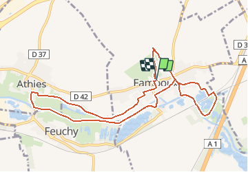

12,9 km | 14,3 km-effort

Benutzer


Kostenlosegpshiking-Anwendung
 SityTrail
IGN / Geografische Institute
SityTrail World
Die Welt öffnet sich für Sie
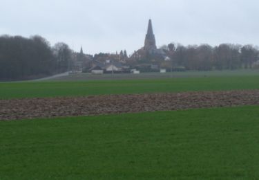
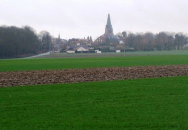
Tour Wandern von 9,6 km verfügbar auf Nordfrankreich, Pas-de-Calais, Fampoux. Diese Tour wird von tracegps vorgeschlagen.
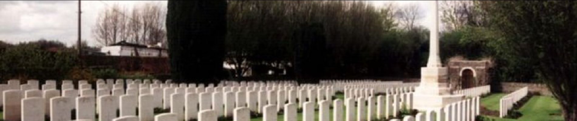
Circuit proposé par la Communauté Urbaine d’Arras et l’Office de Tourisme d’Arras. Départ de la mairie de Fampoux. Une promenade qui vous entraînera du souvenir du premier conflit mondial à la quiétude des bords de Scarpe. Téléchargez la fiche du circuit.


Wandern

Wandern

Wandern

Wandern

Wandern
Wandern
Wandern
Wandern
Wandern