


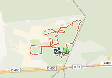

18,7 km | 24 km-effort


Benutzer


Kostenlosegpshiking-Anwendung
 SityTrail
IGN / Geografische Institute
SityTrail World
Die Welt öffnet sich für Sie
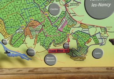
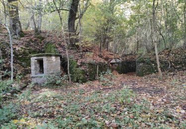
Tour Wandern von 11,5 km verfügbar auf Großer Osten, Mörthe und Mosel, Bois-de-Haye. Diese Tour wird von DanielROLLET vorgeschlagen.
2019 01 20 - 09h05 à 11h50
Rando ASPV 5 personnes
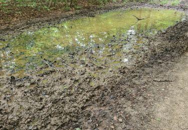
Temps stable, fine couche de neige
600m de moins à cause d'une erreur

Zu Fuß

Zu Fuß

Wandern
Zu Fuß

Zu Fuß
Wandern
Wandern
Wandern
Wandern