


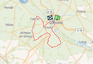

7,5 km | 9,4 km-effort

Benutzer


Kostenlosegpshiking-Anwendung
 SityTrail
IGN / Geografische Institute
SityTrail World
Die Welt öffnet sich für Sie
Tour Fahrrad von 51 km verfügbar auf Nordfrankreich, Somme, Abbeville. Diese Tour wird von tracegps vorgeschlagen.
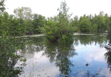
L’Abbevillois Un circuit au départ de la gare d’Abbeville qui vous fera découvrir des paysages surprenant sur le Vimeu mais aussi sur la vallée de la Somme Départ : parking de la gare SNCF d’Abbeville.


Wandern
Zu Fuß
Wandern
Wandern

Fahrrad

Wandern
Wandern

Wandern
Zu Fuß