


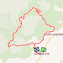

18,4 km | 28 km-effort

Benutzer


Kostenlosegpshiking-Anwendung
 SityTrail
IGN / Geografische Institute
SityTrail World
Die Welt öffnet sich für Sie
Tour Wandern von 10,9 km verfügbar auf Auvergne-Rhone-Alpen, Ardèche, Gras. Diese Tour wird von tracegps vorgeschlagen.
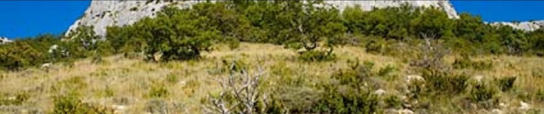
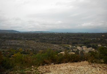
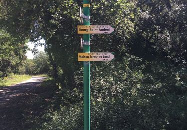
Depuis St-Remèze se rendre en direction de GRAS, s'arrêter au hameau les Hellys. La Dent de Rez, plateau magnifique qui domine l'Ardèche du sud. Attention zone protégée. La suite et d’autres informations et photos sur le site des Balades de Stéphane.

Wandern
Wandern
Fahrrad
Wandern
Wandern
Wandern

Wandern
Wandern
Wandern
RandO Lundi