


6,5 km | 7,9 km-effort


Benutzer


Kostenlosegpshiking-Anwendung
 SityTrail
IGN / Geografische Institute
SityTrail World
Die Welt öffnet sich für Sie
Tour Wandern von 10,6 km verfügbar auf Nordfrankreich, Nord, Aibes. Diese Tour wird von tracegps vorgeschlagen.
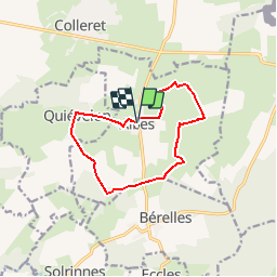
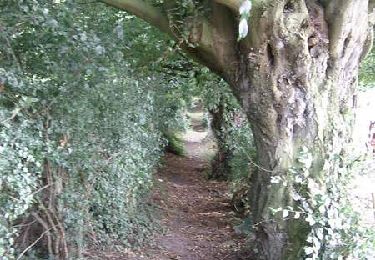
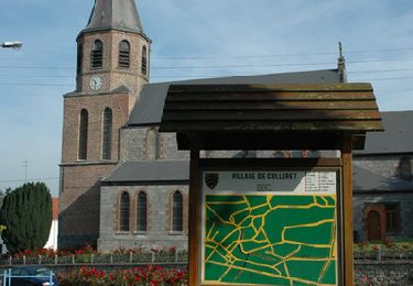
Circuit proposé par le Comité Départemental du Tourisme du Nord et l’Office de Tourisme du Nord-Est Avesnois . Départ de la mairie d’Aibes Si le besoin de silence, de quiétude, de paysages vallonnés et bucoliques vous envahit, le circuit des bois de Fagne répondra à vos attentes et vous laissera dans l’esprit une sensation de repos et de vacances… Difficile de se croire dans le NORD, surtout si le soleil est au rendez-vous. Retrouvez cette randonnée sur le site du Comité Départemental du Tourisme du Nord.
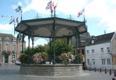
 - Photo 1")
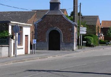
 - Photo 2")
Wandern
Wandern

Zu Fuß

Wandern
Wandern
Wandern

Fahrrad
Mountainbike
Mountainbike