


9,4 km | 13,1 km-effort

Benutzer


Kostenlosegpshiking-Anwendung
 SityTrail
IGN / Geografische Institute
SityTrail World
Die Welt öffnet sich für Sie
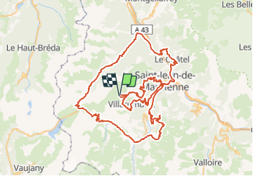
Tour Fahrrad von 114 km verfügbar auf Auvergne-Rhone-Alpen, Savoyen, Fontcouverte-la-Toussuire. Diese Tour wird von tracegps vorgeschlagen.
Les 13 et 14 Juillet 2009 Organisé par LVO (Ludovic Valentin Organisation). 15 ans ! 15 ans que le Tour Arvan Villards arpente les routes et cols mythiques du massif de l’Arvan Villards et des Sybelles. L’Arvan Villards n’a pas usurpé sa réputation de cyclosportive parmi les plus dures de France. En 2008, les 3600m de dénivelé du grand parcours ont été fidèles à cette réputation, les conditions météo durcissant encore la course. Pour 2009, épreuve sera toujours inscrite au calendrier du challenge national « Cyclo’tour » et y figurera comme la finale, après les deux cyclosportives lozériennes que sont « La Lozérienne » et « La Granite Mont Lozère ».

Wandern
Nordic Walking
Wandern
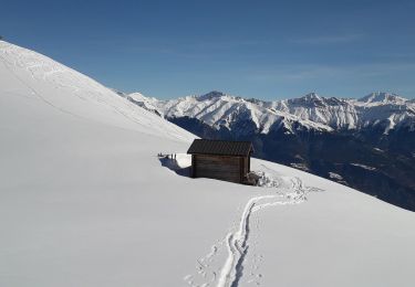
Skiwanderen
Skiwanderen
Schneeschuhwandern
Schneeschuhwandern
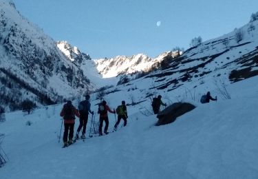
Skiwanderen

Mountainbike