


17,5 km | 19,6 km-effort


Benutzer


Kostenlosegpshiking-Anwendung
 SityTrail
IGN / Geografische Institute
SityTrail World
Die Welt öffnet sich für Sie
Tour Wandern von 13,8 km verfügbar auf Nordfrankreich, Pas-de-Calais, Bullecourt. Diese Tour wird von tracegps vorgeschlagen.
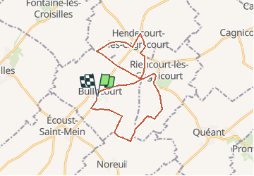
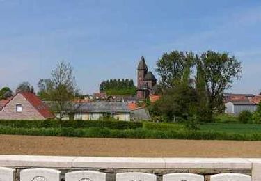
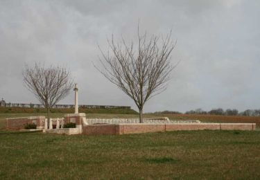
Circuit proposé par la Communauté de Communes du Sud Arrageois. Départ : place de la mairie de Bullecourt. Vous marcherez sur les pas des soldats de la 4e Division Australienne qui le 11 avril 1917 devaient s’emparer de Bullecourt, de Riencourt et si possible d’Hendecourt. Les Australiens perdirent ici 3000 tués et 1170 prisonniers en une journée. Bullecourt ne sera repris qu’après les combats du 3 au 17 mai 1917, entraînant la perte de 7000 soldats. Ce circuit a été numérisé par les randonneurs du CODEPEM. Merci à Jean-Marie.
 - Photo 1")
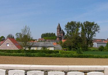
 - Photo 2")
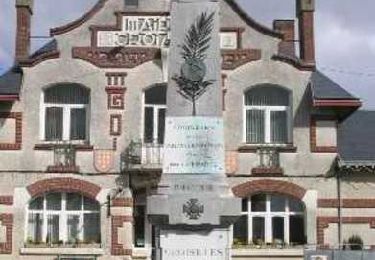
 - Photo 3")
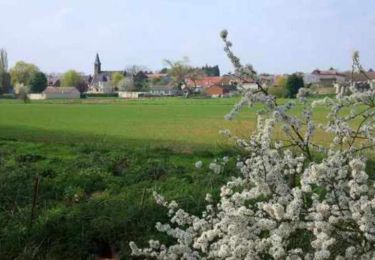
 - Photo 4")
Wandern

Andere Aktivitäten
Wandern
Wandern
Wandern
Wandern

Wandern

Wandern
Wandern