


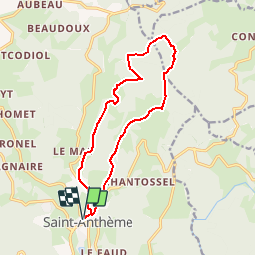

11,8 km | 15,5 km-effort


Benutzer


Kostenlosegpshiking-Anwendung
 SityTrail
IGN / Geografische Institute
SityTrail World
Die Welt öffnet sich für Sie
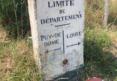
Tour Wandern von 13,6 km verfügbar auf Auvergne-Rhone-Alpen, Puy-de-Dôme, Saint-Anthème. Diese Tour wird von tracegps vorgeschlagen.
Au départ de Saint Anthème, ce circuit propose la découverte de quelques-uns des nombreux hameaux qui font partie de cette vaste commune. Retrouvez d’autres randonnées sur le site du Parc Naturel Régional Livradois-Forez

Wandern

Zu Fuß
Zu Fuß
Zu Fuß

Wandern

Wandern
Wandern
Rennrad

Zu Fuß
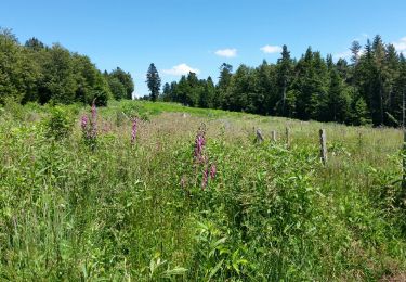
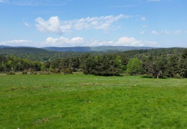
superbe randonnée