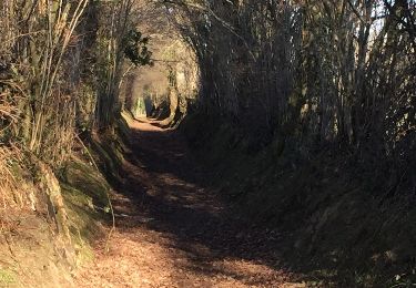
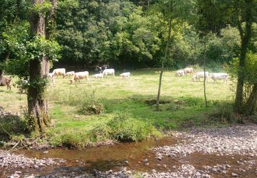
12,6 km | 15,9 km-effort
MONTAMY
UDGI54
Benutzer
Länge
24 km
Maximale Höhe
282 m
Positive Höhendifferenz
562 m
Km-Effort
31 km
Min. Höhe
136 m
Negative Höhendifferenz
561 m
Boucle
Ja
Erstellungsdatum :
2019-01-15 20:44:15.173
Letzte Änderung :
2019-01-15 20:44:15.173
6h38
Schwierigkeit : Schwierig
Kostenlosegpshiking-Anwendung
Über SityTrail
Tour Wandern von 24 km verfügbar auf Normandie, Calvados, Souleuvre-en-Bocage. Diese Tour wird von UDGI54 vorgeschlagen.
Ort
Land:
France
Region :
Normandie
Abteilung/Provinz :
Calvados
Kommune :
Souleuvre-en-Bocage
Standort:
Montamy
Gehen Sie:(Dec)
Gehen Sie:(UTM)
663552 ; 5426770 (30U) N.
Kommentare
Touren in der Umgebung
rando de la souleuvre
Mountainbike
Medium
(1)
Souleuvre-en-Bocage,
Normandie,
Calvados,
France
25 km | 32 km-effort
2h 7min
Ja
SAINT PIERRE TARENTAINE
Wandern
Sehr schwierig
(1)
Souleuvre-en-Bocage,
Normandie,
Calvados,
France
19,7 km | 26 km-effort
5h 47min
Ja
Montchauvet Calvados
Wandern
Einfach
Souleuvre-en-Bocage,
Normandie,
Calvados,
France
18,2 km | 22 km-effort
5h 37min
Ja
Rando Viaduc de la souleuvre
Wandern
Einfach
Souleuvre-en-Bocage,
Normandie,
Calvados,
France
9,6 km | 12,2 km-effort
3h 2min
Nein
LaVallée de la Souleuvre
Wandern
Medium
Souleuvre-en-Bocage,
Normandie,
Calvados,
France
7,2 km | 9,8 km-effort
2h 5min
Ja
jurques
Wandern
Einfach
Dialan sur Chaîne,
Normandie,
Calvados,
France
8,8 km | 11,3 km-effort
1h 58min
Nein
Rando de Jurques 2009
Mountainbike
Schwierig
Dialan sur Chaîne,
Normandie,
Calvados,
France
43 km | 55 km-effort
3h 0min
Ja