


19 km | 24 km-effort

Benutzer


Kostenlosegpshiking-Anwendung
 SityTrail
IGN / Geografische Institute
SityTrail World
Die Welt öffnet sich für Sie
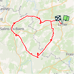
Tour Fahrrad von 69 km verfügbar auf Burgund und Freigrafschaft, Doubs, Levier. Diese Tour wird von tracegps vorgeschlagen.
Le Doubs, réserve naturelle d’idées neuves ! Le Mont Poupet Point Infos à Levier Musée relais du cheval comtois et de la forêt (03 81 89 58 74) à Levier Route des sapins : traverse 10 000 hectares de forêts qui sont les sapinières les plus prestigieuses d'Europe par la dimension de leurs arbres (Epicéas du Roi de Rome, Parc animalier du Rondé, Sapin Président, Passage antique de Chalamont, belvédères…) Office de tourisme (03 84 73 01 34) à Salins-les-Bains (39) Salines de Salins-les-Bains A proximité Sommet et belvédère du mont Poupet (850 m) Taillanderie à Nans-sous-Sainte-Anne (03 81 86 64 18), ancienne fabrique de faux et outils coupants, moulin à aube et martinets en fonctionnement Source du Lison, Creux billard, grotte sarrasine et nombreux belvédères Via ferrata A proximité Le Pont du Diable à Crouzet-Migette

Wandern
Wandern
Laufen

Wandern
Wandern

Reiten

Wandern

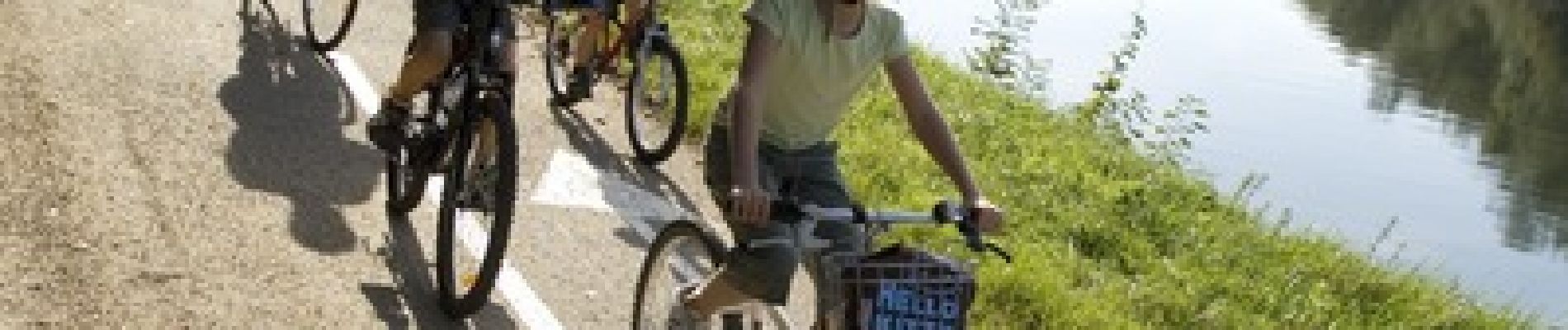
Hybrid-Bike

Laufen