


4 km | 4,9 km-effort


Benutzer


Kostenlosegpshiking-Anwendung
 SityTrail
IGN / Geografische Institute
SityTrail World
Die Welt öffnet sich für Sie
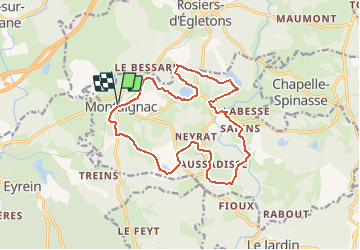
Tour Wandern von 16,4 km verfügbar auf Neu-Aquitanien, Corrèze, Montaignac-Saint-Hippolyte. Diese Tour wird von tracegps vorgeschlagen.
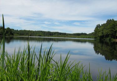
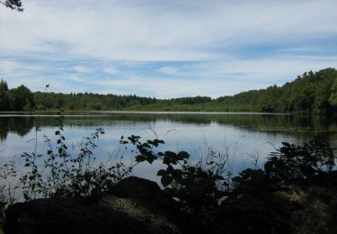
Les Etangs du Doustre Site de nidification ou halte migratoire pour les oiseaux sauvages, réserve alimentaire pour la loutre ou zone de pêche pour les amateurs de gaule, les étangs de la Doustre sont également un lieu de détente pour les promeneurs.


Wandern

Zu Fuß
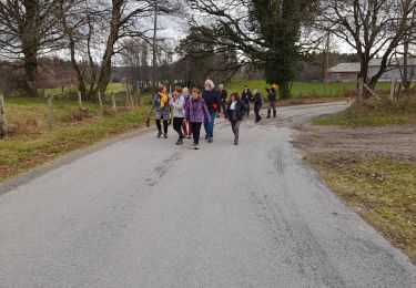
Zu Fuß

Wandern
Wandern
Mountainbike

Wandern
Mountainbike

Wandern
tres bien. merci