

Le Tortillard (variante courte)

tracegps
Benutzer

Länge
8,7 km

Maximale Höhe
145 m

Positive Höhendifferenz
75 m

Km-Effort
9,7 km

Min. Höhe
95 m

Negative Höhendifferenz
75 m
Boucle
Ja
Erstellungsdatum :
2014-12-10 00:00:00.0
Letzte Änderung :
2014-12-10 00:00:00.0
2h30
Schwierigkeit : Medium

Kostenlosegpshiking-Anwendung
Über SityTrail
Tour Wandern von 8,7 km verfügbar auf Nordfrankreich, Somme, Beauquesne. Diese Tour wird von tracegps vorgeschlagen.
Beschreibung
Si les chênes ayant inspiré le nom de ce village y poussent toujours, le train qui y passait naguère a disparu. Pour télécharger la fiche du circuit en format pdf.
Ort
Land:
France
Region :
Nordfrankreich
Abteilung/Provinz :
Somme
Kommune :
Beauquesne
Standort:
Unknown
Gehen Sie:(Dec)
Gehen Sie:(UTM)
456781 ; 5549101 (31U) N.
Kommentare
Touren in der Umgebung
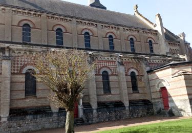
Le Tortillard


Zu Fuß
Einfach
Beauval,
Nordfrankreich,
Somme,
France

10,5 km | 11,9 km-effort
2h 42min
Ja
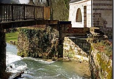
Sentier de la montagne - Thièvres


Wandern
Medium
Thièvres,
Nordfrankreich,
Somme,
France

8,7 km | 10,1 km-effort
2h 10min
Ja
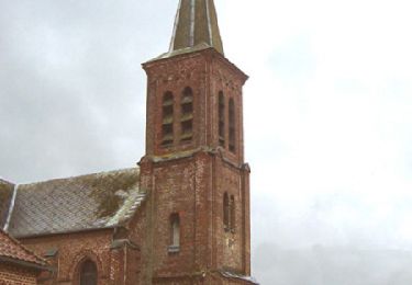
Sentier du Fay - Grand-Rullecourt


Wandern
Sehr schwierig
Thièvres,
Nordfrankreich,
Somme,
France

8,7 km | 10,1 km-effort
4h 25min
Ja
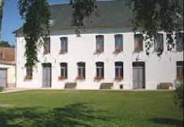
THIEVRES - Circuit de l'arbre de Cocagne


Wandern
Medium
Thièvres,
Nordfrankreich,
Pas-de-Calais,
France

8,8 km | 10,6 km-effort
2h 24min
Ja

PUCHEVILLERS (80) - CVCircuit de la Montagne Bergère


Wandern
Schwierig
Puchevillers,
Nordfrankreich,
Somme,
France

11,6 km | 14 km-effort
3h 11min
Ja
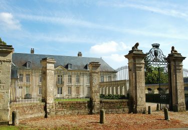
Circuit du Château de Raincheval


Zu Fuß
Einfach
Raincheval,
Nordfrankreich,
Somme,
France

5,9 km | 7 km-effort
1h 35min
Ja
Le Tortillard


Wandern
Medium
Beauquesne,
Nordfrankreich,
Somme,
France

11,7 km | 13,2 km-effort
4h 0min
Ja


 SityTrail


