


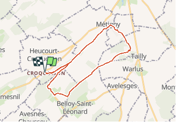

13,6 km | 16,5 km-effort

Benutzer


Kostenlosegpshiking-Anwendung
 SityTrail
IGN / Geografische Institute
SityTrail World
Die Welt öffnet sich für Sie
Tour Wandern von 14,5 km verfügbar auf Nordfrankreich, Somme, Heucourt-Croquoison. Diese Tour wird von tracegps vorgeschlagen.
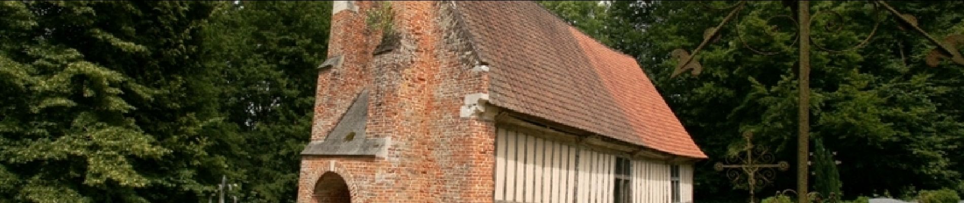
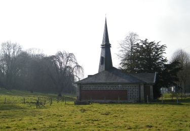
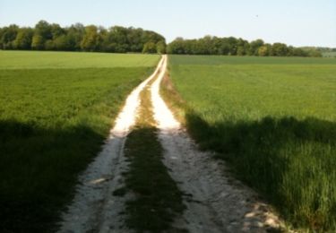
Parcourir ce coin de terre picarde où un jeune Saint-Cyrien passa sa jeunesse avant de recevoir son bâton de maréchal.

Zu Fuß
Mountainbike
Zu Fuß

Wandern

Elektrofahrrad
Elektrofahrrad

Wandern