


15,1 km | 20 km-effort


Benutzer


Kostenlosegpshiking-Anwendung
 SityTrail
IGN / Geografische Institute
SityTrail World
Die Welt öffnet sich für Sie
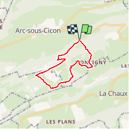
Tour Wandern von 11,3 km verfügbar auf Burgund und Freigrafschaft, Doubs, Arc-sous-Cicon. Diese Tour wird von tracegps vorgeschlagen.
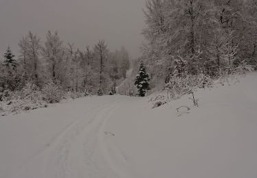
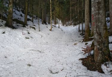
Au travers de cet itinéraire, le randonneur part à la rencontre d'un paysage typique du Haut-Doubs. En effet, la silhouette généreuse de l'anticlinal du Crêt Monniot est l'exemple le plus représentatif de la "montagne à vaches", façonnée par l'élevage en estive avec ses pâturages d'altitude (entre 800 et 1200 m) facilement accessibles et donc exploitables par l'homme. La suite avec d’autres informations et photos est ICI
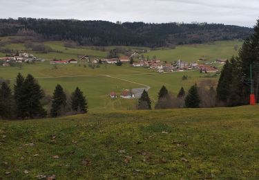
 depuis Les Cordiers - Photo 1")
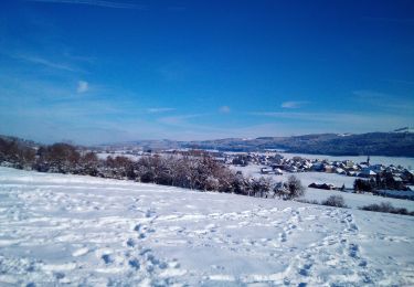
 depuis Les Cordiers - Photo 2")
Wandern
Wandern
Schneeschuhwandern
Schneeschuhwandern
Schneeschuhwandern
Wandern
Schneeschuhwandern

Wandern

Mountainbike