


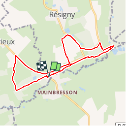

13 km | 14,9 km-effort


Benutzer


Kostenlosegpshiking-Anwendung
 SityTrail
IGN / Geografische Institute
SityTrail World
Die Welt öffnet sich für Sie
Tour Wandern von 7,6 km verfügbar auf Nordfrankreich, Aisne, Résigny. Diese Tour wird von tracegps vorgeschlagen.
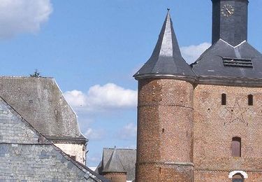
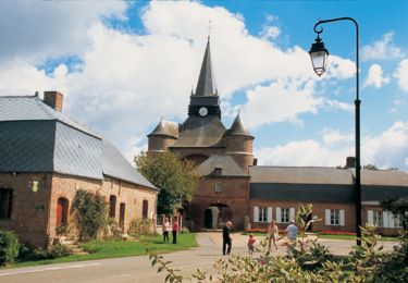
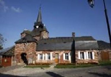
Les anciennes voies ferroviaires, autrefois rythmées par les sifflets des machines à vapeur, sont devenues des traverses buissonnières s'égrènant au fil de stations bucoliques qui résonnent aux noms de bocages, bosquets, bois, praipries et zones humides. Toutes les infos sont ICI
Wandern

Hybrid-Bike
Wandern
Wandern