


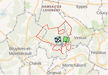

13,2 km | 16 km-effort


Benutzer


Kostenlosegpshiking-Anwendung
 SityTrail
IGN / Geografische Institute
SityTrail World
Die Welt öffnet sich für Sie
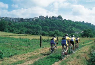
Tour Wandern von 14,5 km verfügbar auf Nordfrankreich, Aisne, Parfondru. Diese Tour wird von tracegps vorgeschlagen.
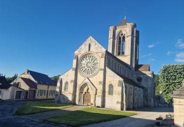
Ce territoire vous permettra d'appréhender la richesse du patrimoine naturel du Laonnois. Les landes, les bois aux ambiances submontagnardes, les prairies sèches et humides constituent autant de paysages différents où vous rencontrerez une diversité remarquable d'espèces animales et végétales. Toutes les infos sont ICI
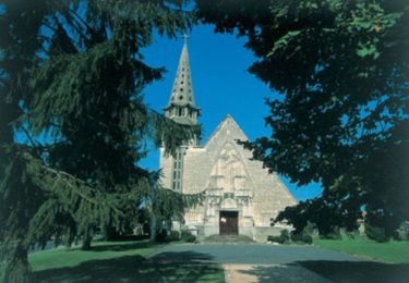
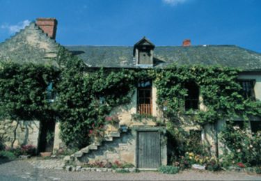
Wandern
Wandern
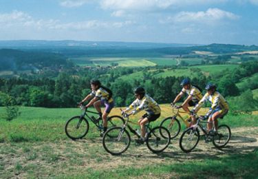
Mountainbike
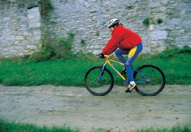
Mountainbike
Mountainbike
Mountainbike
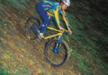
Mountainbike
Mountainbike
Wandern