


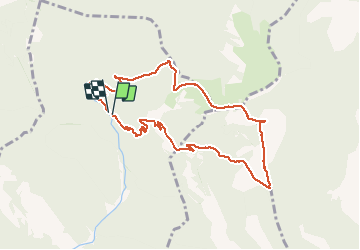

14 km | 26 km-effort


Benutzer


Kostenlosegpshiking-Anwendung
 SityTrail
IGN / Geografische Institute
SityTrail World
Die Welt öffnet sich für Sie
Tour Wandern von 10,1 km verfügbar auf Auvergne-Rhone-Alpen, Drôme, Venterol. Diese Tour wird von aitkhedache vorgeschlagen.
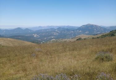
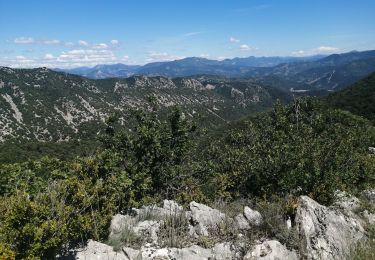
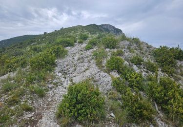
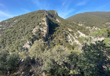
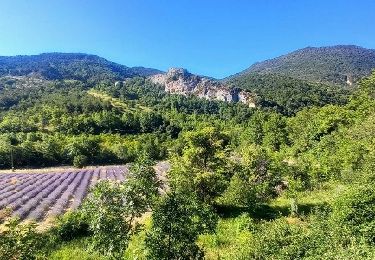
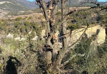
Le parking se trouve tout au bout de la combe de Sauve. Prendre le sentier parfaitement balisé en jaune. Le sommet du Cougoir offre une vue extraordinaire sur les alpes: barres des Aravis et du Dévoluy . La montée est assez rude sur le dernier km tout en n'offrant aucune difficulté technique.

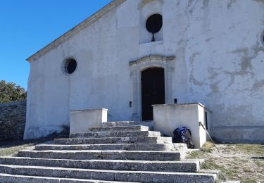
Wandern
Wandern
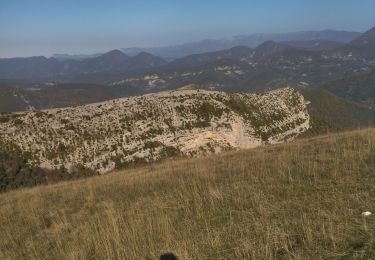
Wandern
Wandern
Wandern
Wandern
Wandern
Wandern
Wandern