


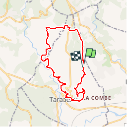

10,3 km | 13,4 km-effort


Benutzer


Kostenlosegpshiking-Anwendung
 SityTrail
IGN / Geografische Institute
SityTrail World
Die Welt öffnet sich für Sie
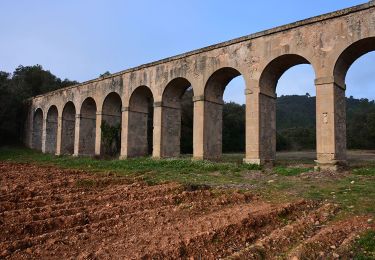
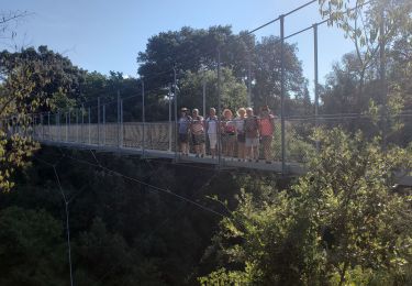
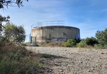
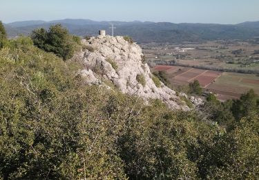
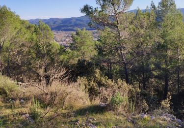
Tour Wandern von 16,2 km verfügbar auf Provence-Alpes-Côte d'Azur, Var, Taradeau. Diese Tour wird von Sugg vorgeschlagen.
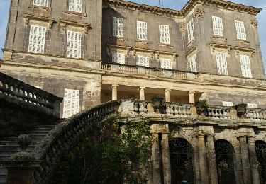
Rando prévue pour le 19-12-18 au départ du château de Selle.Elle sera raccourcie en regagnant directement la côte 157 à l'Ouest.

Wandern

Fahrrad
Wandern
Wandern
Wandern
Wandern
Wandern
Wandern
Wandern