


13,2 km | 16 km-effort


Benutzer


Kostenlosegpshiking-Anwendung
 SityTrail
IGN / Geografische Institute
SityTrail World
Die Welt öffnet sich für Sie
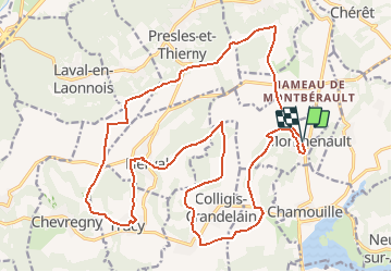
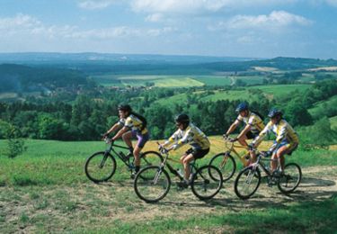
Tour Mountainbike von 24 km verfügbar auf Nordfrankreich, Aisne, Monthenault. Diese Tour wird von tracegps vorgeschlagen.
Ce circuit destiné à des vététistes confirmés passe par les creuttes de la ferme des Carrières et par la ferme du château de Presles, où subsistent des vestiges du XIIIe siècle. A partir de Lierval, le tracé devient plus sauvage, avec des difficultés ponctuelles. Toutes les infos sont ICI
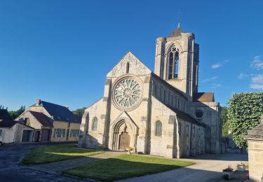
 - Photo 1")
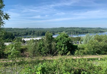
 - Photo 2")
Wandern
Wandern
Wandern
Wandern

Wandern
Nordic Walking
Mountainbike

Wandern
Mountainbike
cool