


13,2 km | 16 km-effort

Benutzer


Kostenlosegpshiking-Anwendung
 SityTrail
IGN / Geografische Institute
SityTrail World
Die Welt öffnet sich für Sie
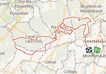
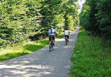
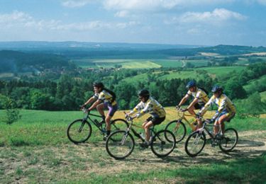
Tour Mountainbike von 28 km verfügbar auf Nordfrankreich, Aisne, Monthenault. Diese Tour wird von tracegps vorgeschlagen.
Au coeur du Laonnois, les arpents de terre gardent en mémoire leur vocation viticole, mise en valeur par cet itinéraire sportif entre forêts et vallons, qui alterne montées et descentes très techniques et physiques. A Nouvion-le-Vineux, le plus ancien lavoir du pays affiche plus de 150 ans. Toutes les infos sont ICI
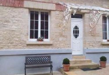
 - Photo 1")
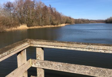
 - Photo 2")
Wandern
Wandern
Wandern
Wandern

Wandern
Nordic Walking
Mountainbike

Wandern
Mountainbike