


13,2 km | 16 km-effort

Benutzer


Kostenlosegpshiking-Anwendung
 SityTrail
IGN / Geografische Institute
SityTrail World
Die Welt öffnet sich für Sie
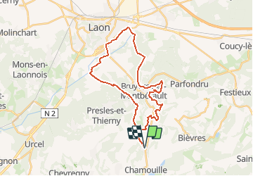
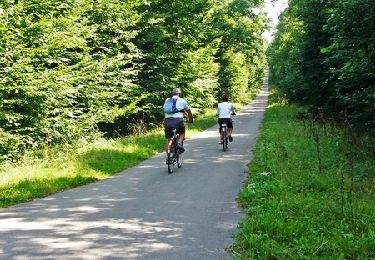
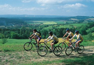
Tour Mountainbike von 28 km verfügbar auf Nordfrankreich, Aisne, Monthenault. Diese Tour wird von tracegps vorgeschlagen.
Ce circuit assez exigeant, entre la campagne laonnoise et la ville de Laon, traverse des plaines herbeuses et des buttes coiffées de feuillus avec, en toile de fond, la "montagne couronnée". Une famille sportive peut le parcourir en une journée, en emportant le pique-nique. Un second départ est possible du tennis club d'Ardon en 24. Toutes les infos sont ICI
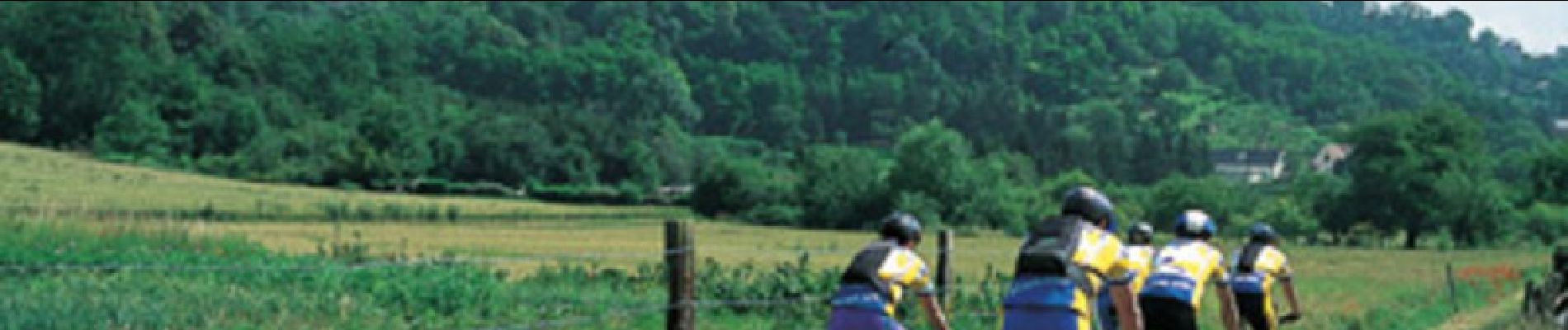
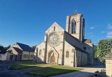
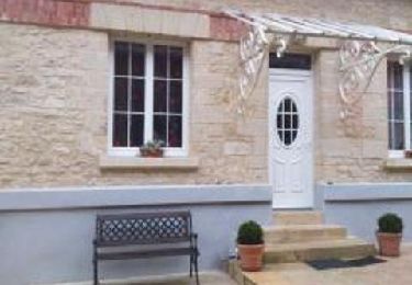
 - Photo 1")
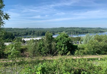
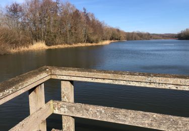
 - Photo 2")
Wandern
Wandern
Wandern
Wandern

Wandern
Nordic Walking
Mountainbike

Wandern
Mountainbike